Adventure tour · Hiking

Scharnitz Cordevole Valley

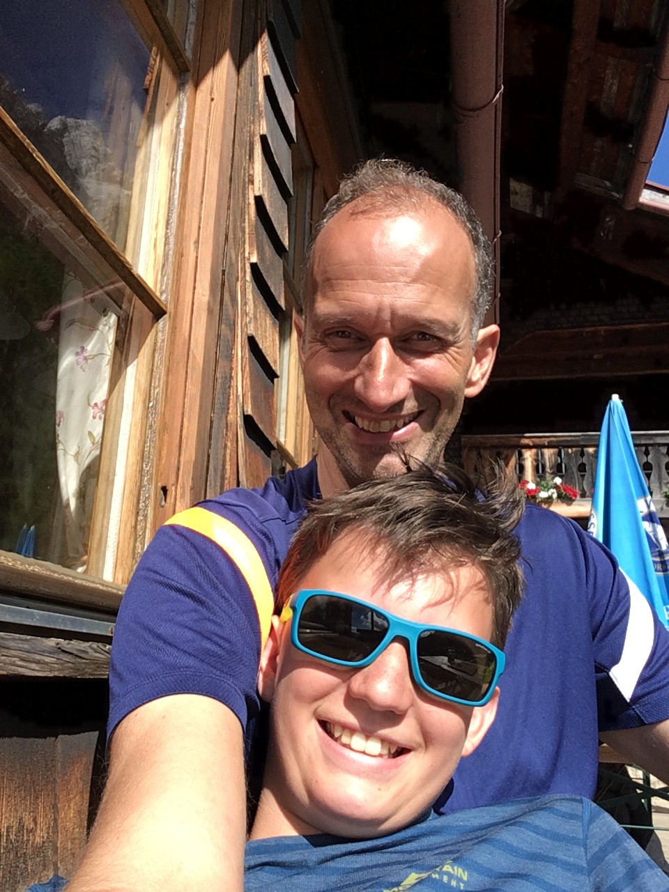
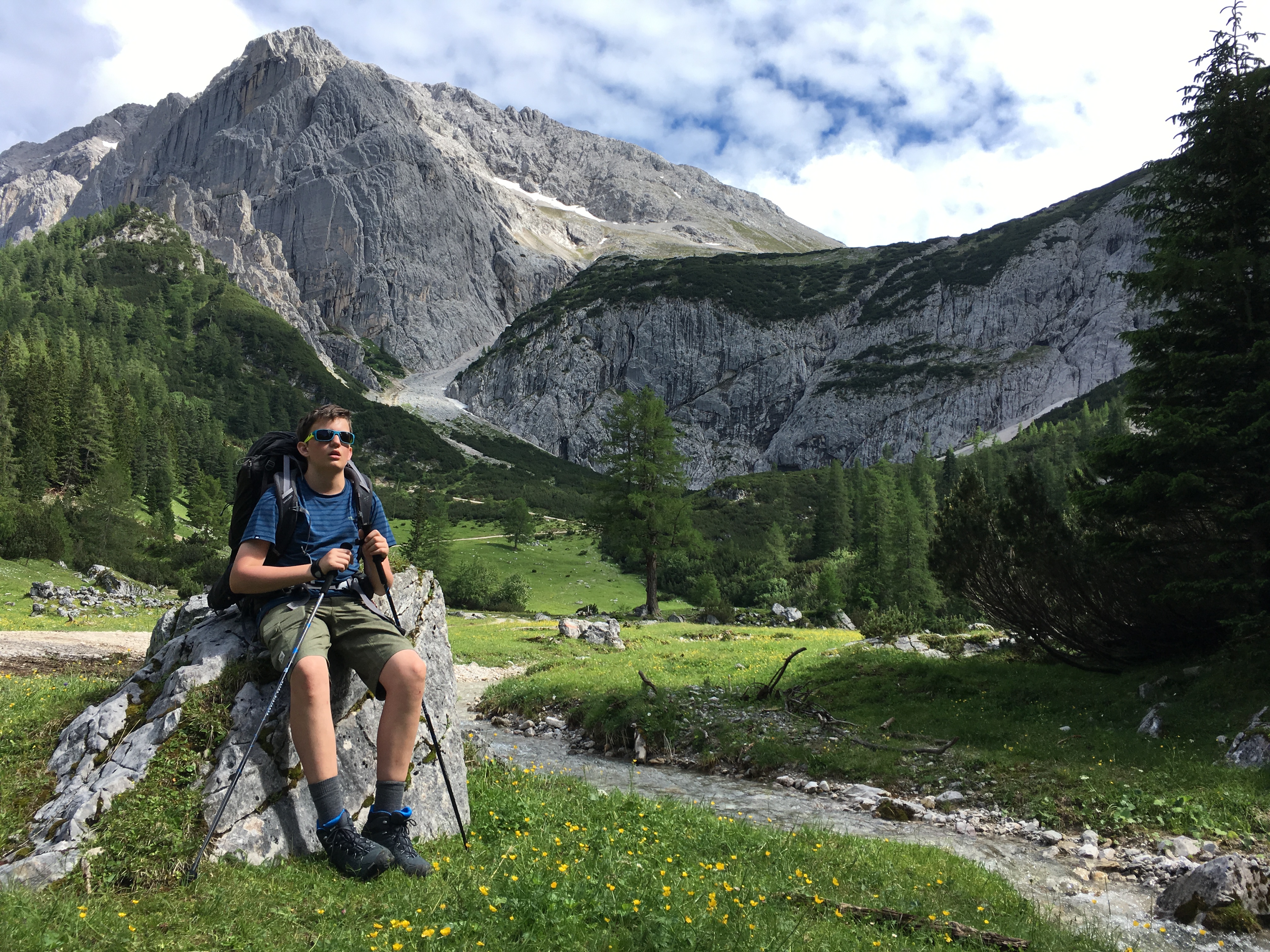
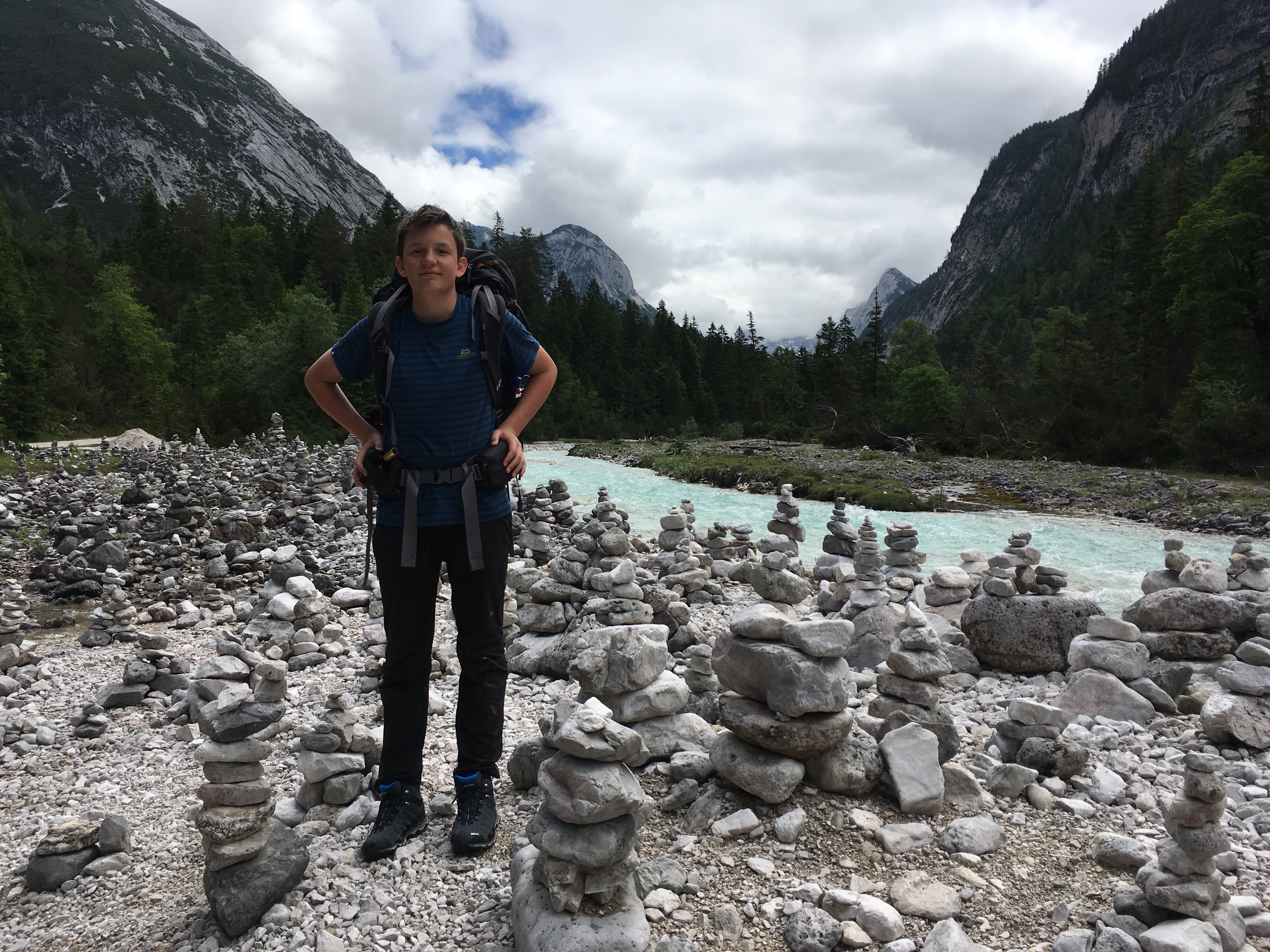
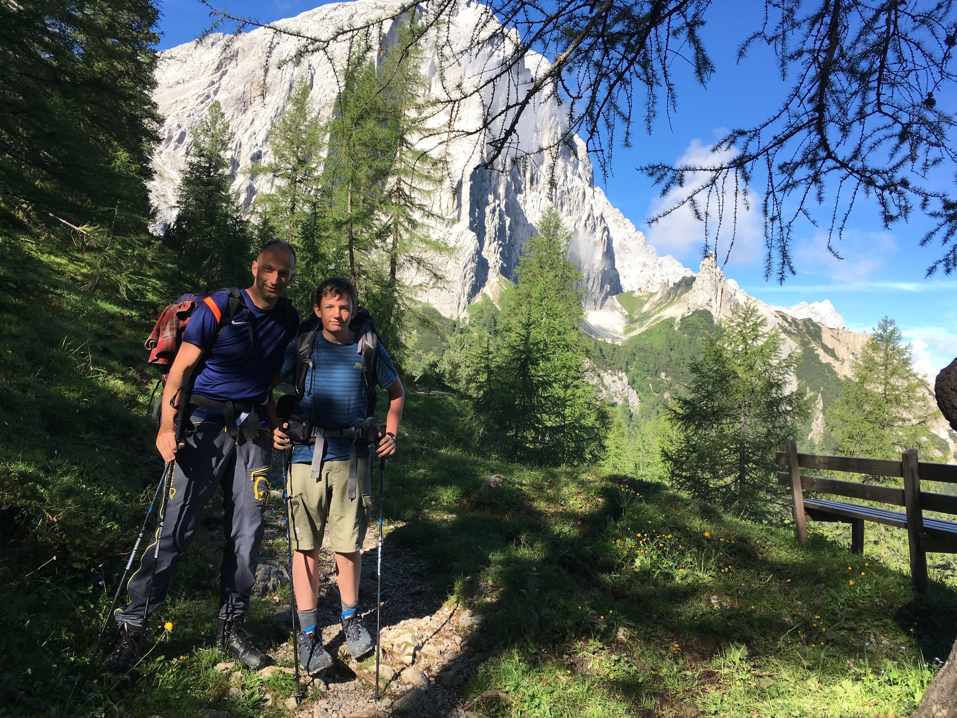
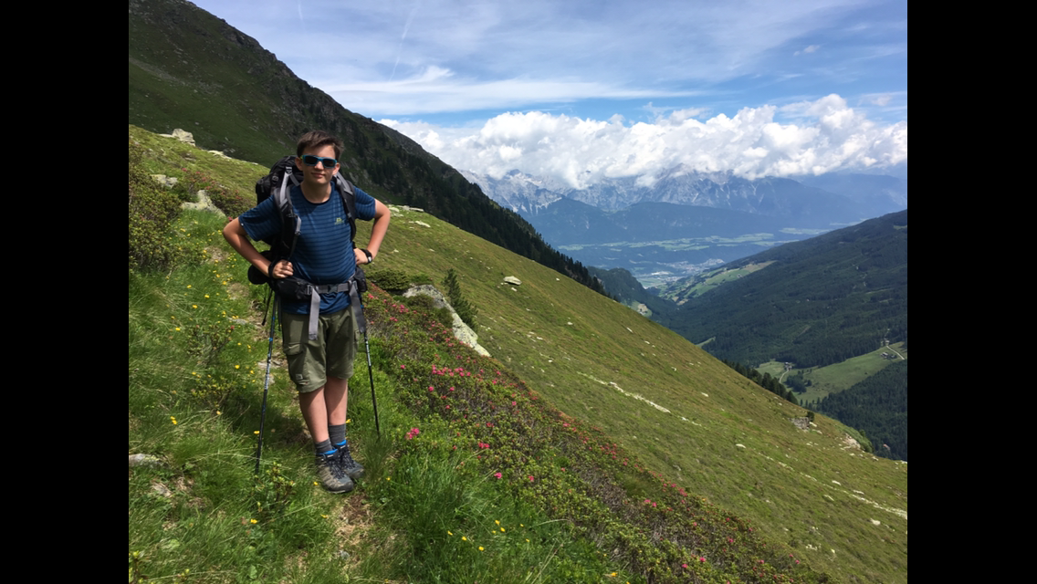
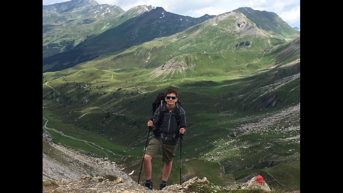
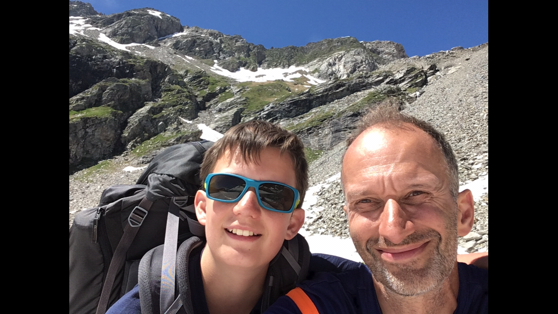
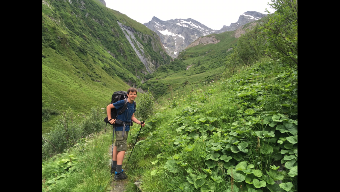
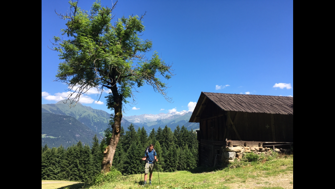
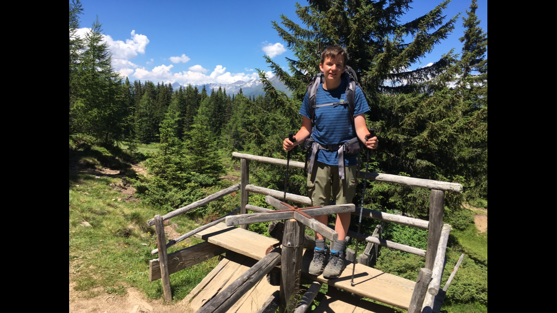
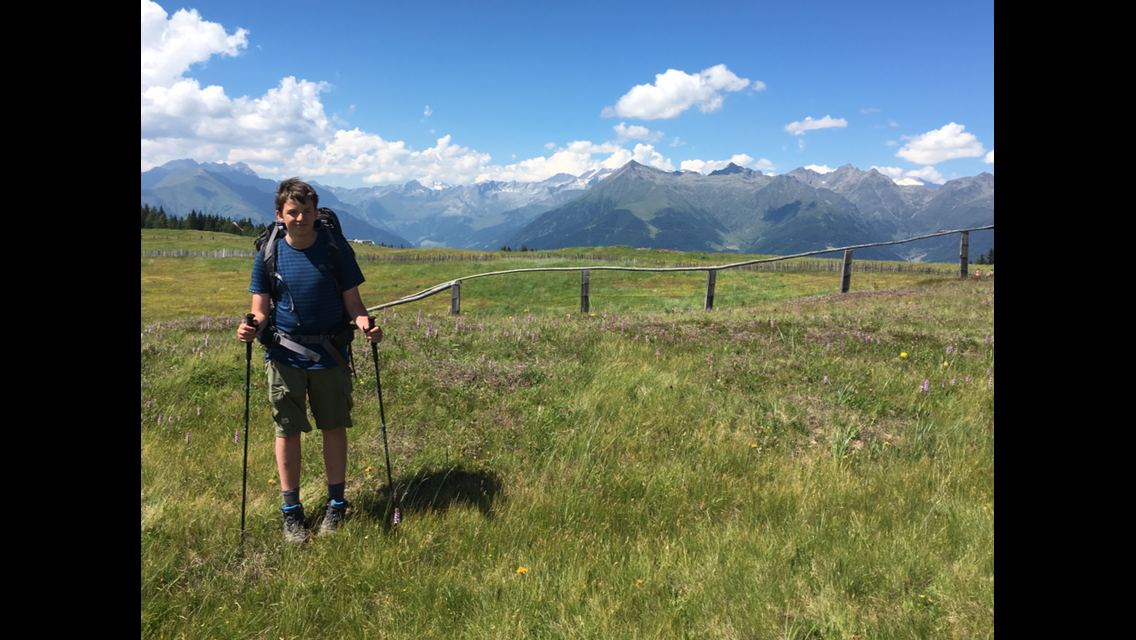
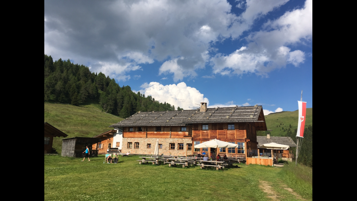
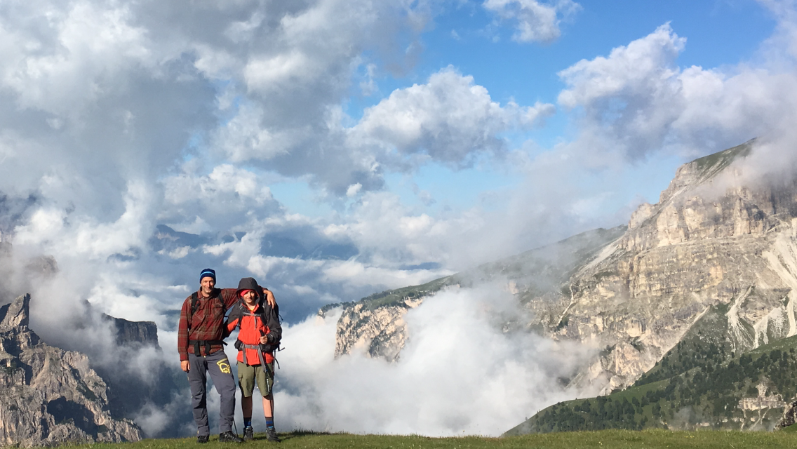
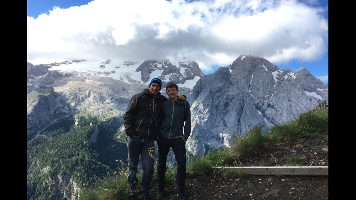
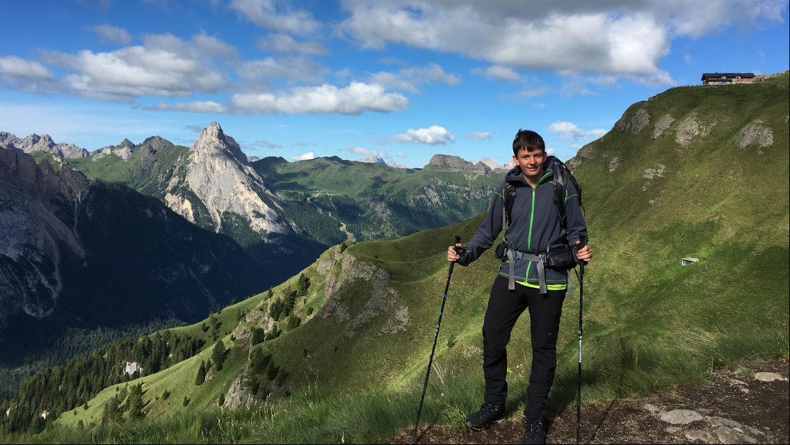
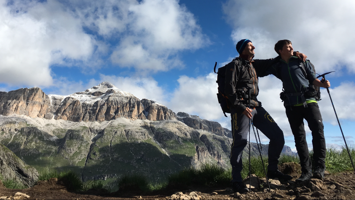
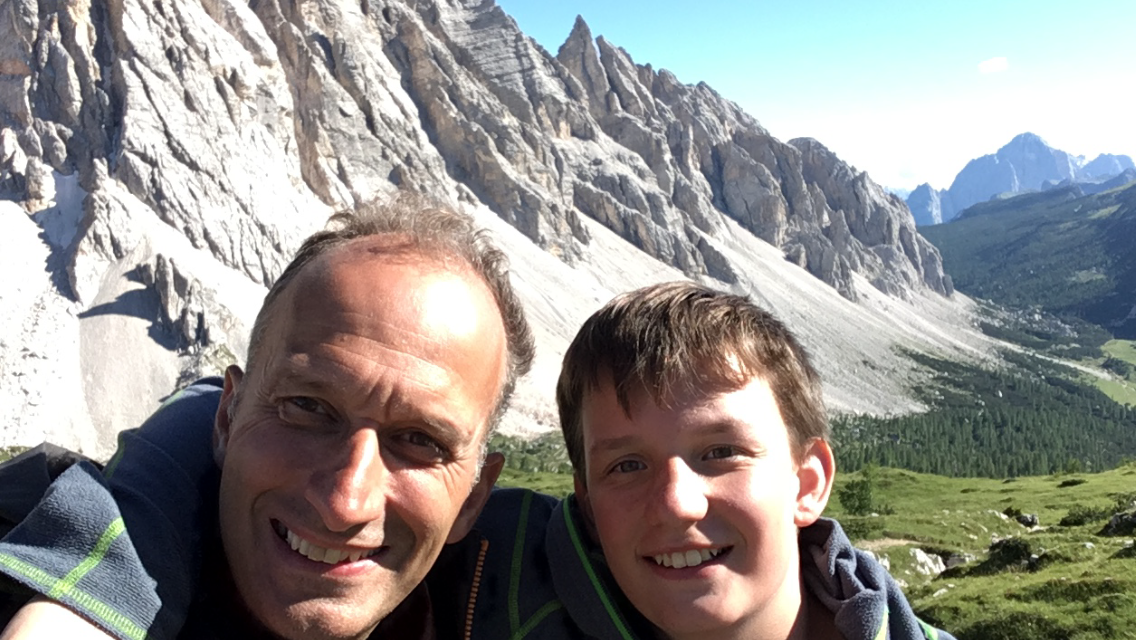
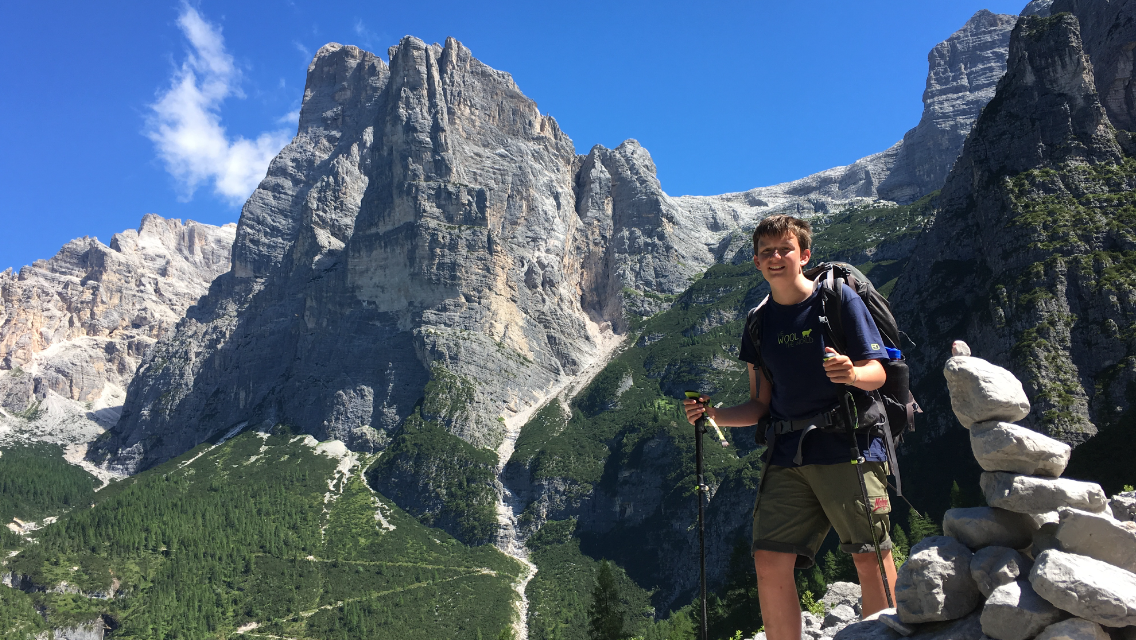
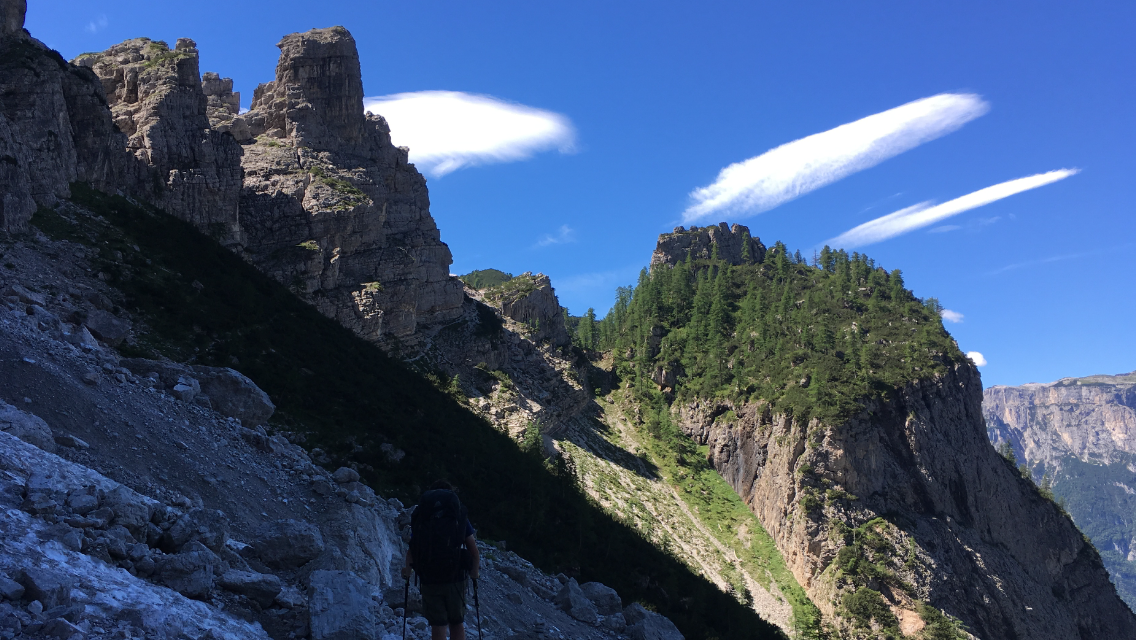
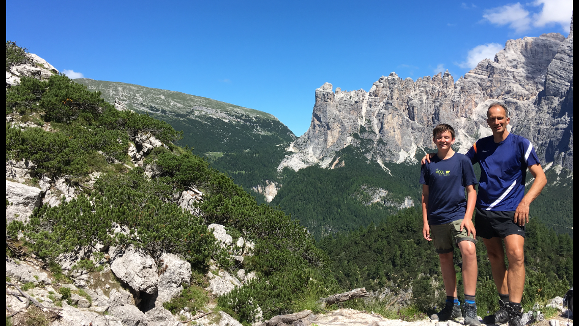
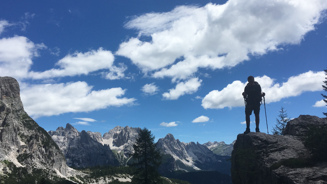
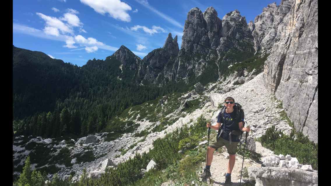
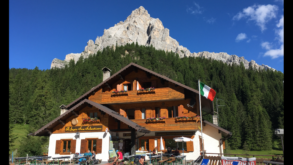
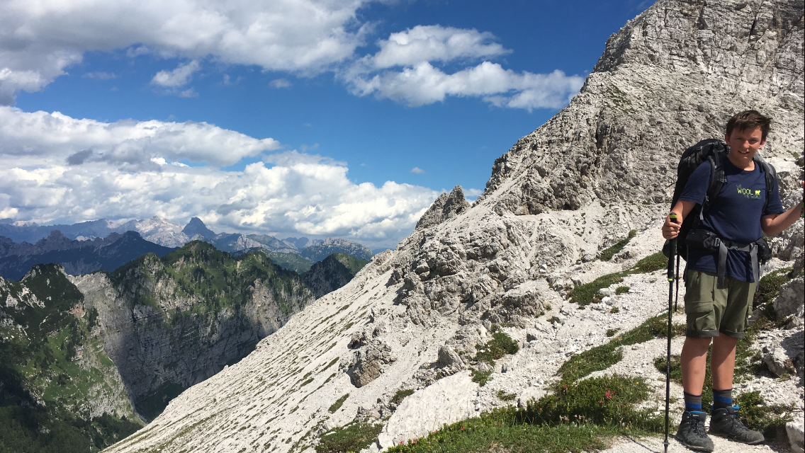
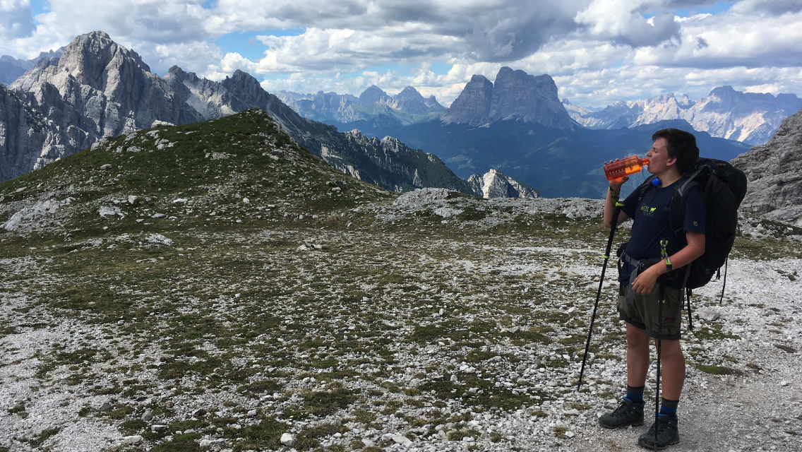
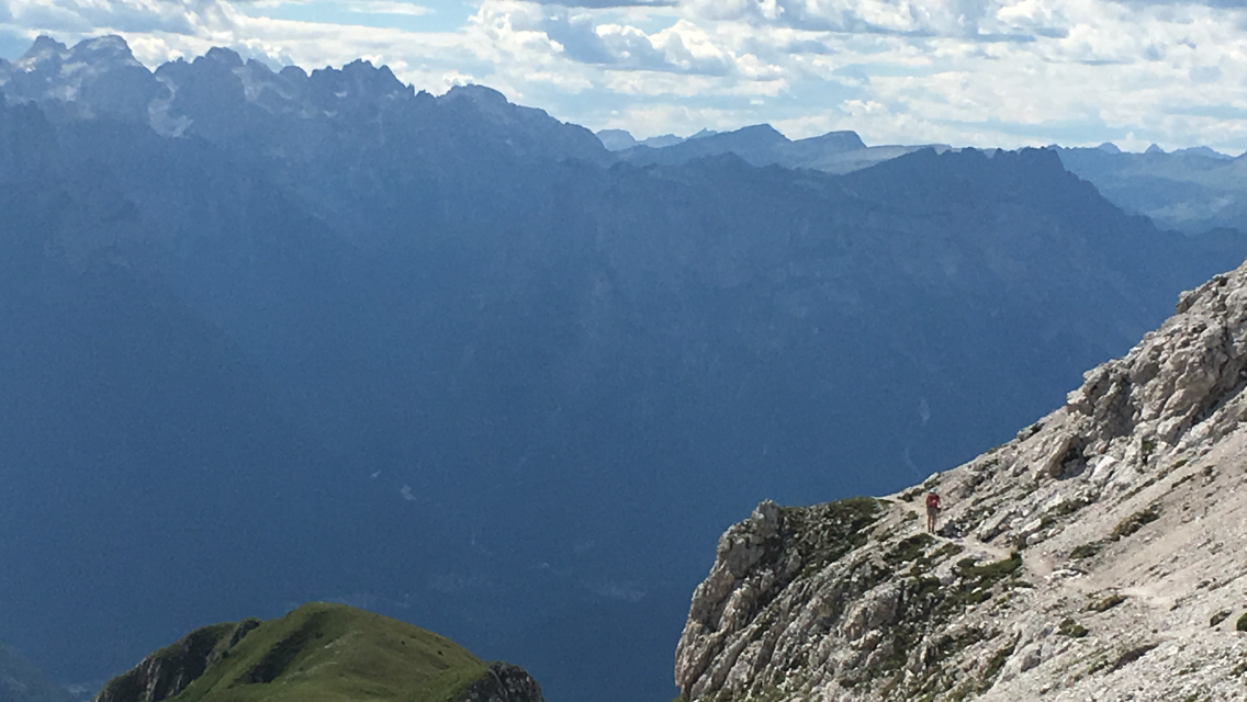
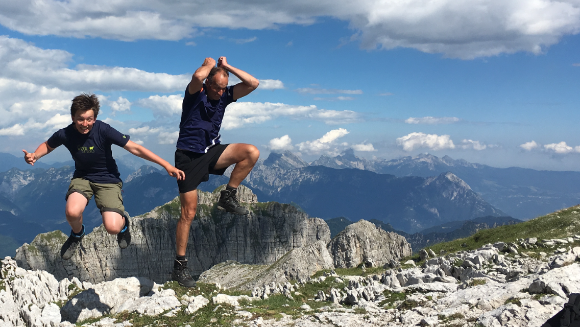
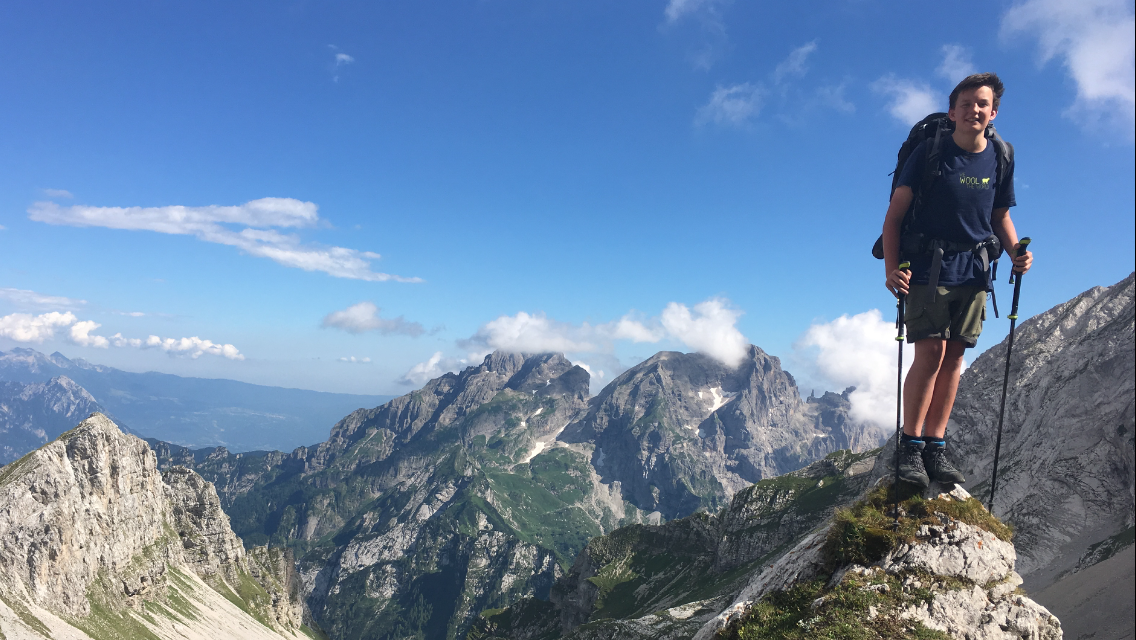
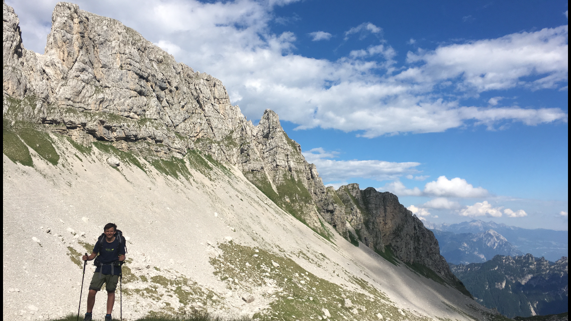
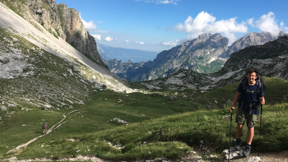
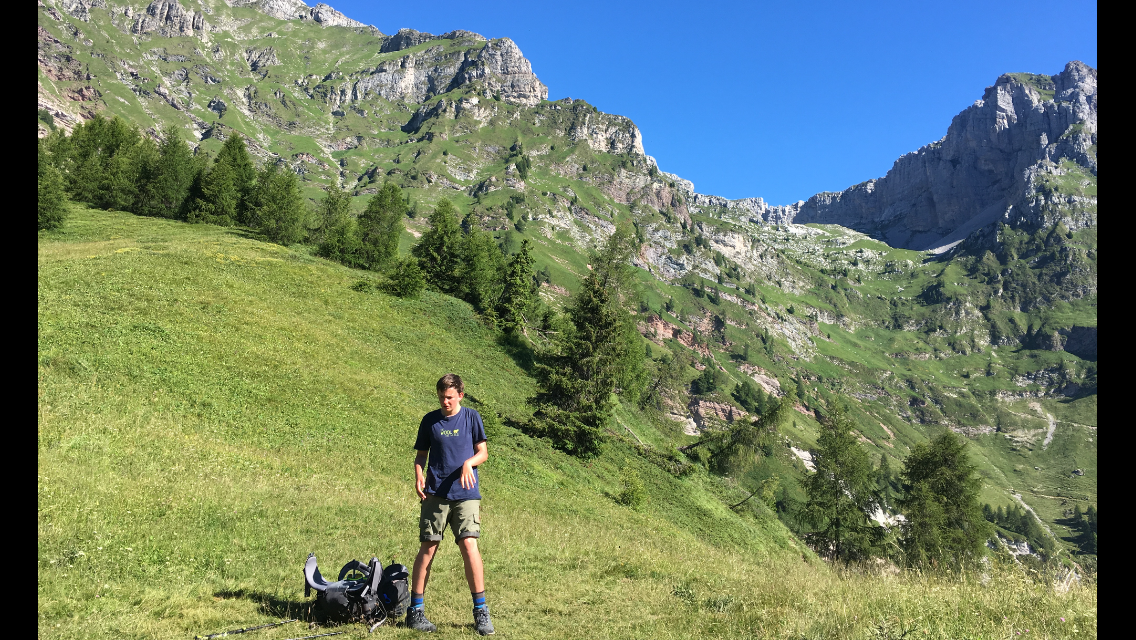
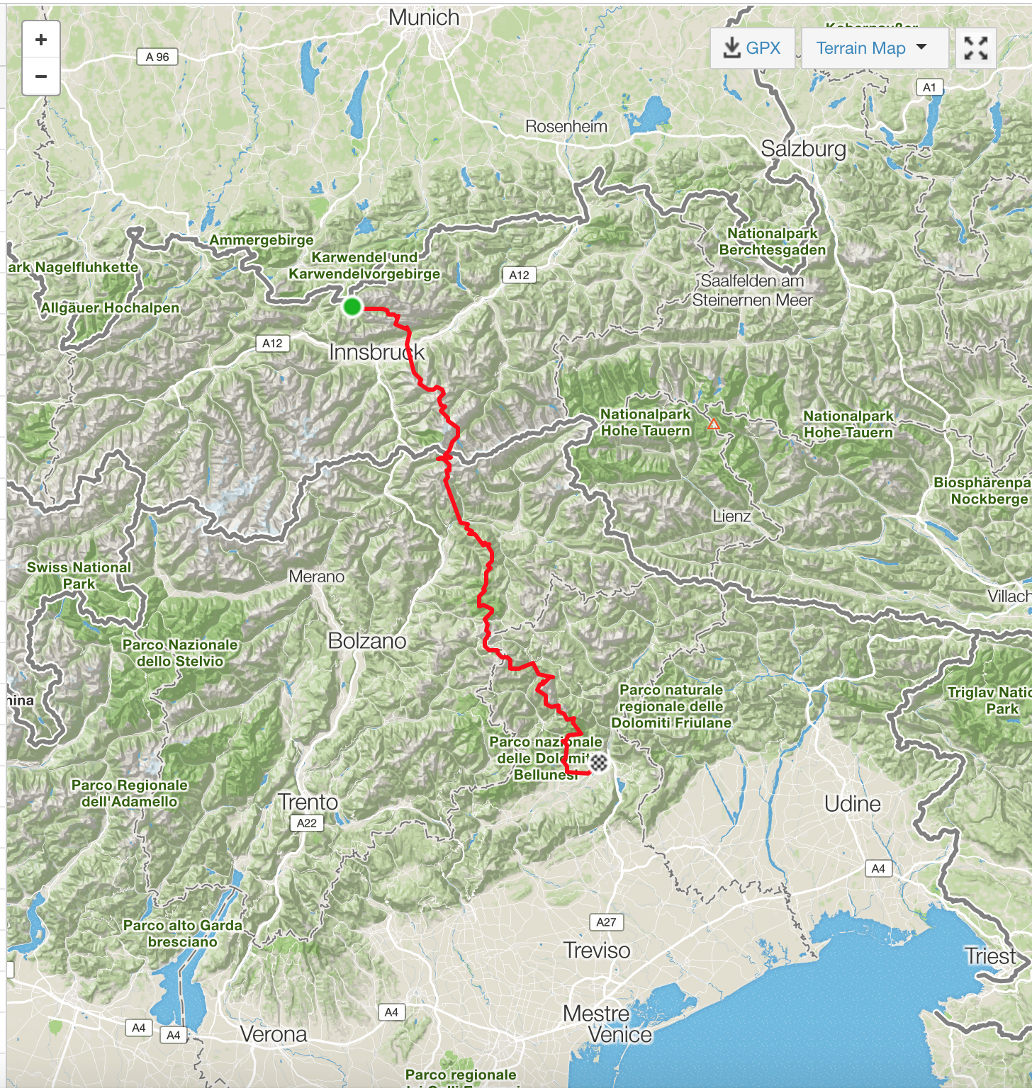
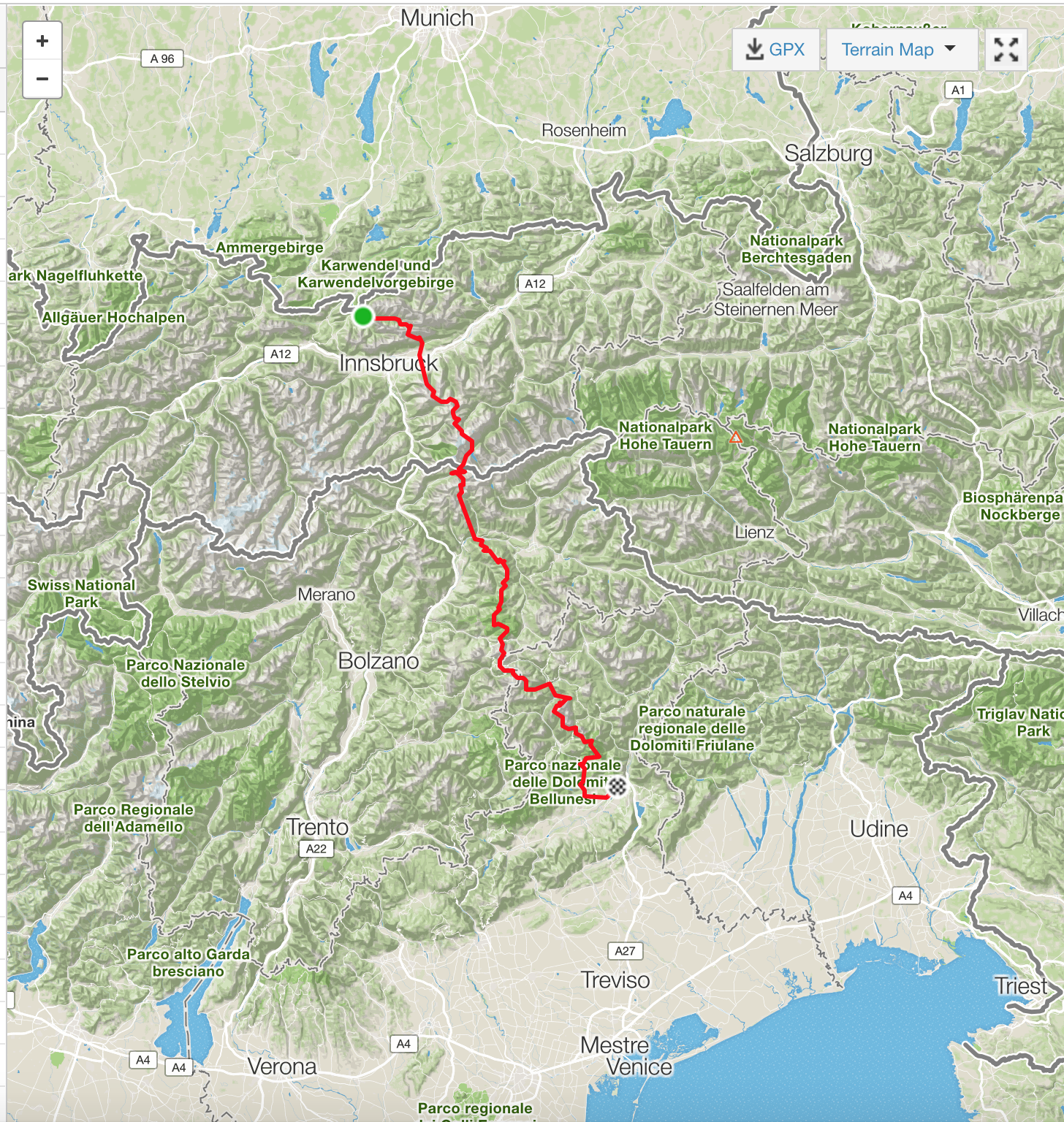
Father and son on foot across the Alps – from Scharnitz (near Mittenwald) into the Cordevole Valley (near Belluno) as a section of the Munich–Venice Traumpfad.

Summer 2016 · 257.80 km · 13,754 m elevation

Open the book

Preface

Preface

After the great experience in 2014 with Nikolaus on the bike trip on the tandem from the North Cape to Oslo, it was clear that Peik would also get an adventure tour for his confirmation on 28 May 2016. The only question was: where and how?

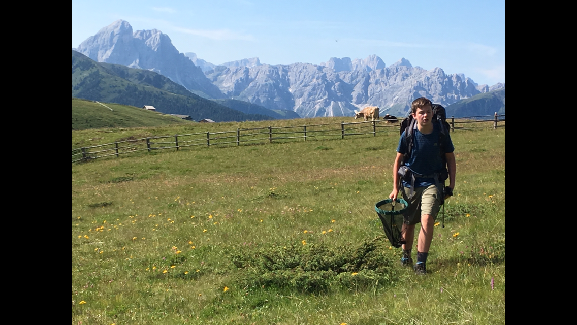
We ruled out repeating the bike trip from the North Cape to Oslo fairly quickly — it should be a one-off, not a copy. A bike trip with a different destination? No bike trip, but something else? Peik’s great passion is collecting insects (mainly butterflies). So at some point we decide on a hike during which Peik can collect butterflies. Choosing the route takes us a long time. We only have 19 days — that’s really the only constraint. But where? One idea is the pilgrim path from Oslo to Trondheim (inspired by the two hikers I met on the tandem trip in 2014), but that takes about 40 days. Join later or leave earlier? At some point the idea came up of hiking across the Alps. After some research, the book “Traumpfad München–Venedig” eventually lands on my desk. Nice, with route descriptions and maps divided into daily stages, about 5 pages per stage.

Since the whole tour at 28 days is still too long, we decide to focus on the mountains, which should be doable in 20 days. We also buy 5 sheets of hiking maps covering the entire route of a good 300 km, become members of the German Alpine Club (DAV), borrow some gear together, and otherwise set off completely unprepared — after celebrating my 50th birthday in Karlsruhe.

The route

Route description

The facts:

  • 257.80 km walked
  • 13,754 m elevation gain
  • 17 hiking days – no rest days
  • 74:48:20 moving time

Overnight stops:

  • Mittenwald (Pension Wörnle) – start in Scharnitz
  • Hallerangerhaus
  • Hall (Zum Goldenen Engel)
  • Lizumer Hütte
  • Tuxer-Joch-Haus
  • Dominikushütte
  • Stein (Pension Bartlhof)
  • Pfunders (Pension Wieserhof)
  • Kreuzwiesenhütte
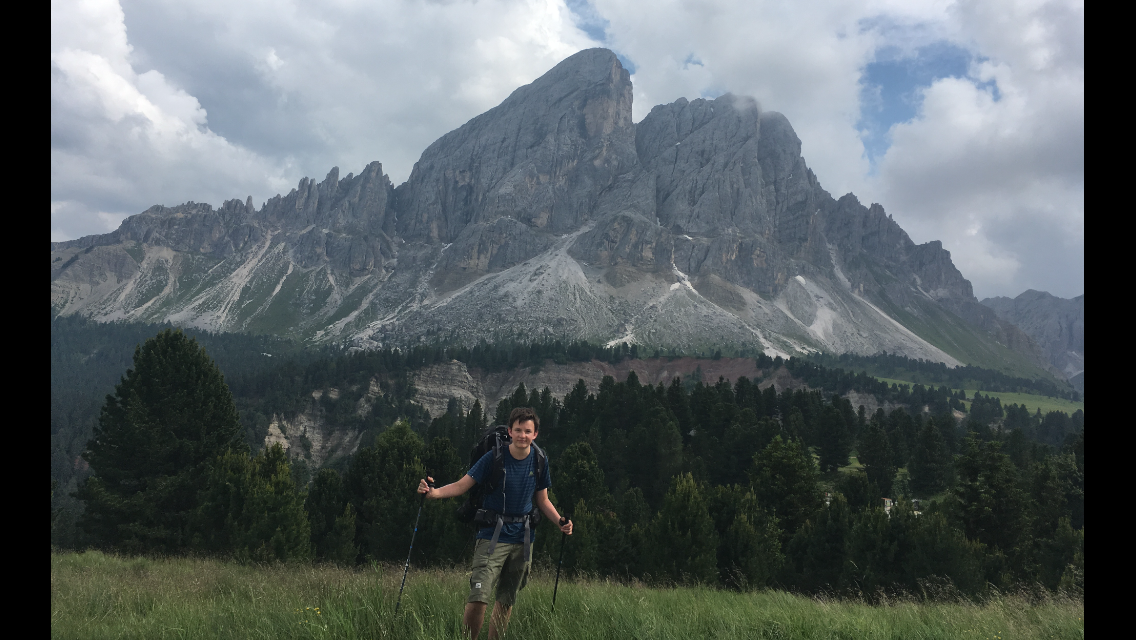
  • Würzjoch (Gasthof Ütia de Börz)
  • Puezhütte
  • Pisciadu hut
  • Refugio Viel dal Pan
  • Alleghe (Sporthotel Europa)
  • Tissi hut
  • Passo Duran
  • Rifugio Pian de Fontana
  • Descent into the Cordevole valley (→ Belluno → Venice)

Full route

Contents

From Scharnitz to the Cordevole Valley

Read chronologically – like a travel diary, page by page.

Total distance257.80 km
Total time on the trail74:48:20
Total elevation13,754 m

Chapter 1 · July 2, 2016

Arrival in Mittenwald

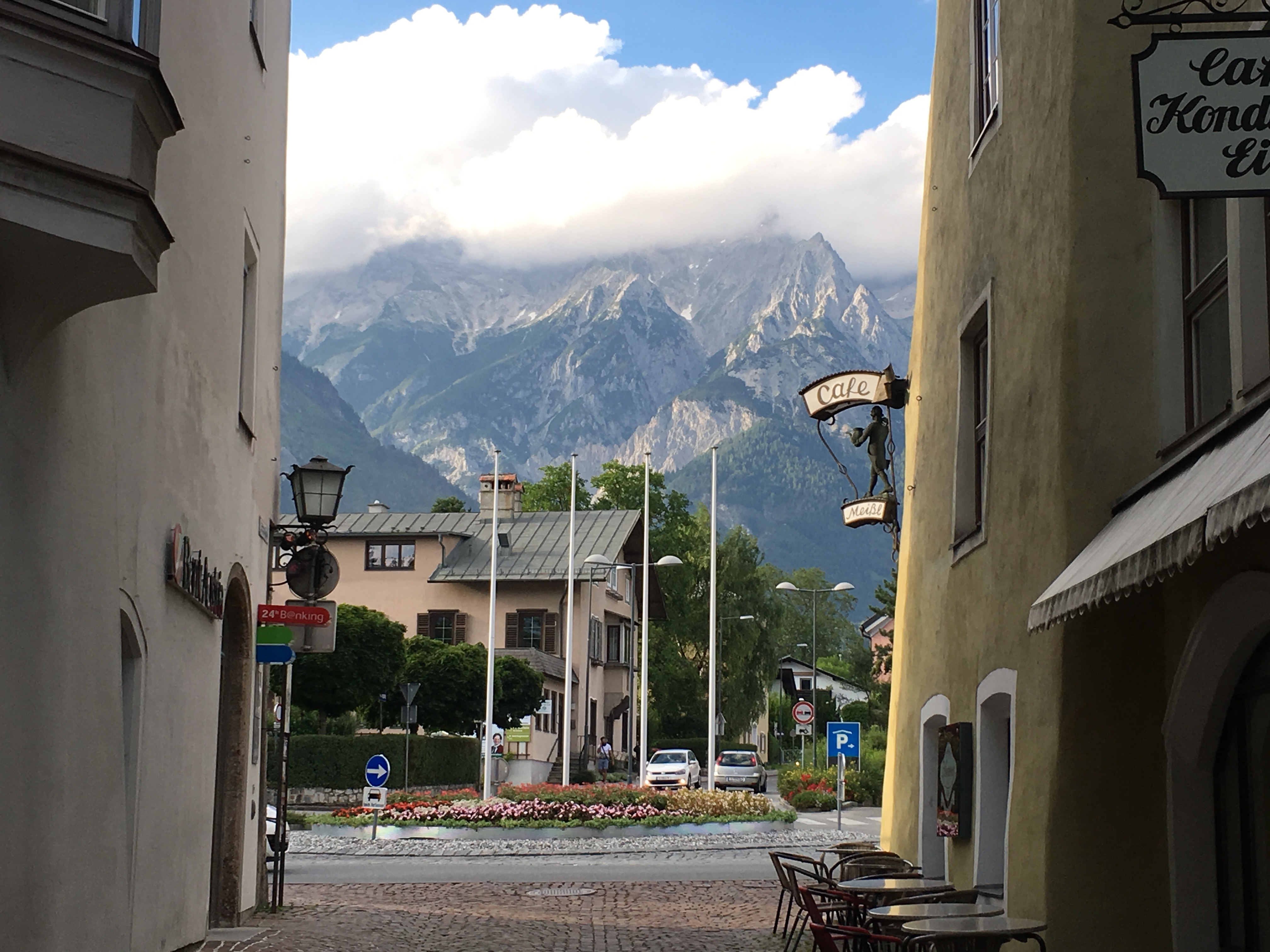
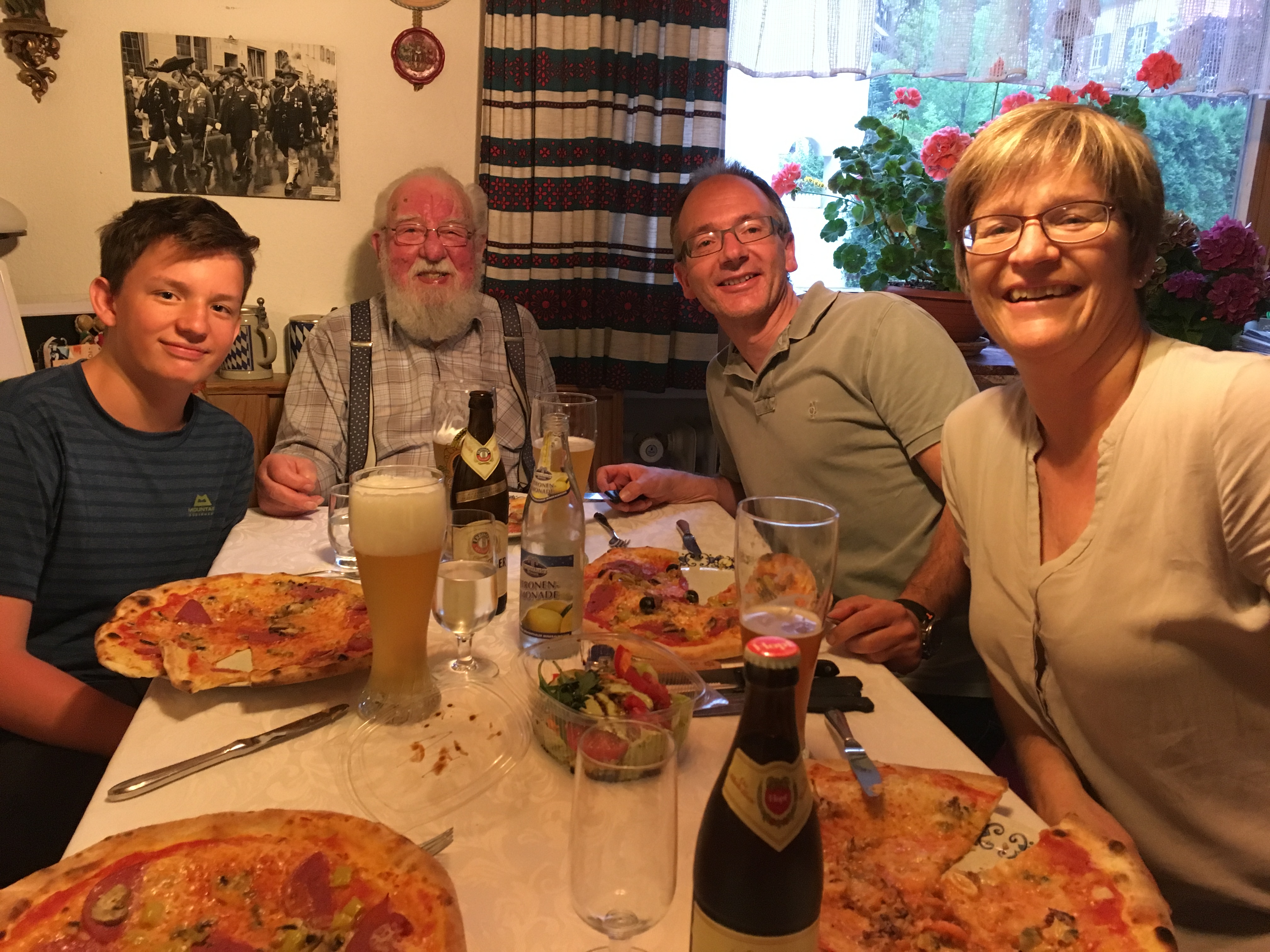
On 2 July 2016 Peik and Peter set off on their planned crossing of the Alps. From Karlsruhe we drive together with Sabine and Stefan — who celebrated our combined 100th birthday with us the day before — to Mittenwald, Stefan’s hometown. There we buy the last few things (earplugs against snorers in the hut dormitories and a few bars for the trail). Now we’re looking forward to the Euro 2016 quarter-final Germany–Italy, before we spend a night with the Wörnle family and set off towards the Hallerangerhaus tomorrow. Good weather is forecast — we’re excited!!

P.S.: Germany–Italy 6–5 on penalties (1–1). Deserved place in the semi-final, and the curse against Italy is history.

Chapter 2 · Stage 1 · July 4, 2016

Scharnitz – Hallerangerhaus

Distance18.13 kmTime4:19:43Elevation679 m

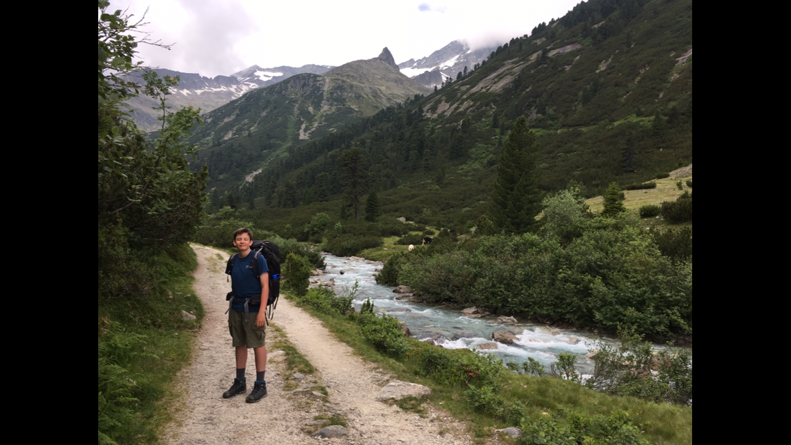
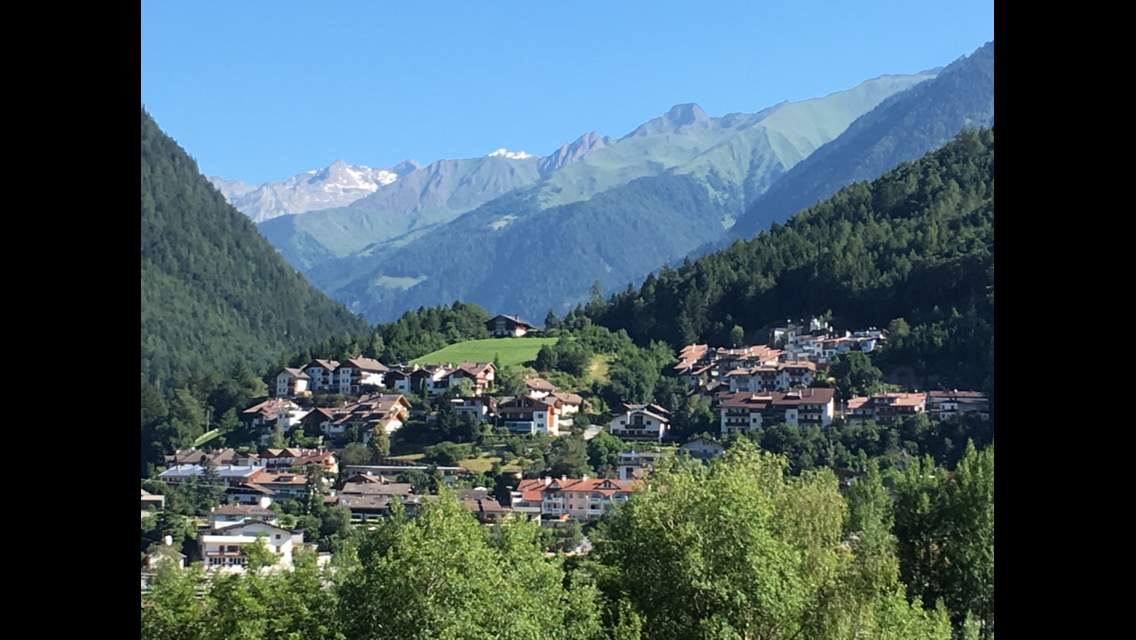
After a lovely breakfast and a warm goodbye from the Wörnle family, Stefan kindly drives us to the starting point of our planned Alpine crossing: Scharnitz near Mittenwald. At the Weisenhof he drops us off and we begin our adventure. For the next 2½ hours we walk on a broad gravel track along the Isar towards its source. We head into the Hinterautal to our first stop, the Kastenalm at 1,200 m.

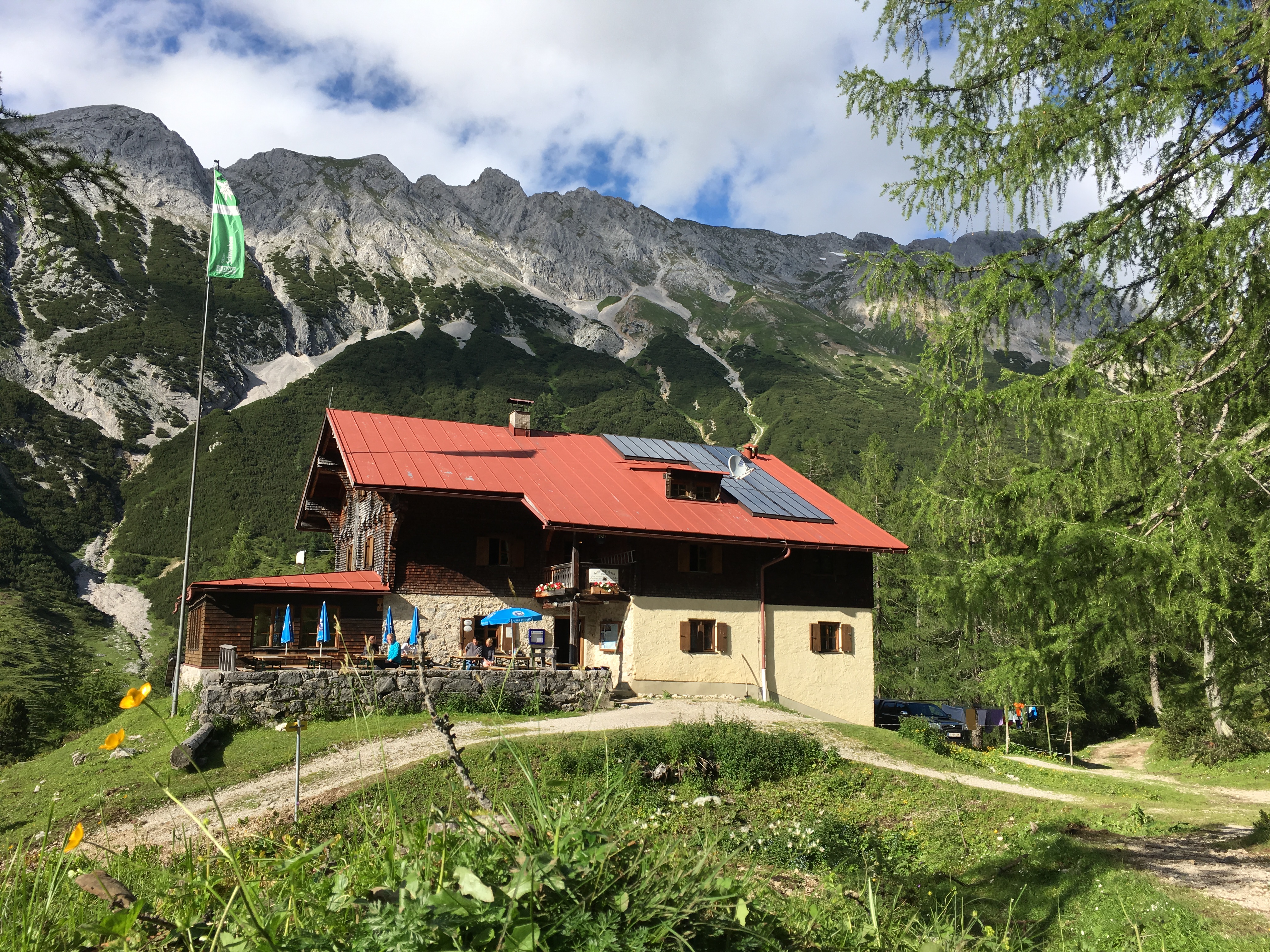
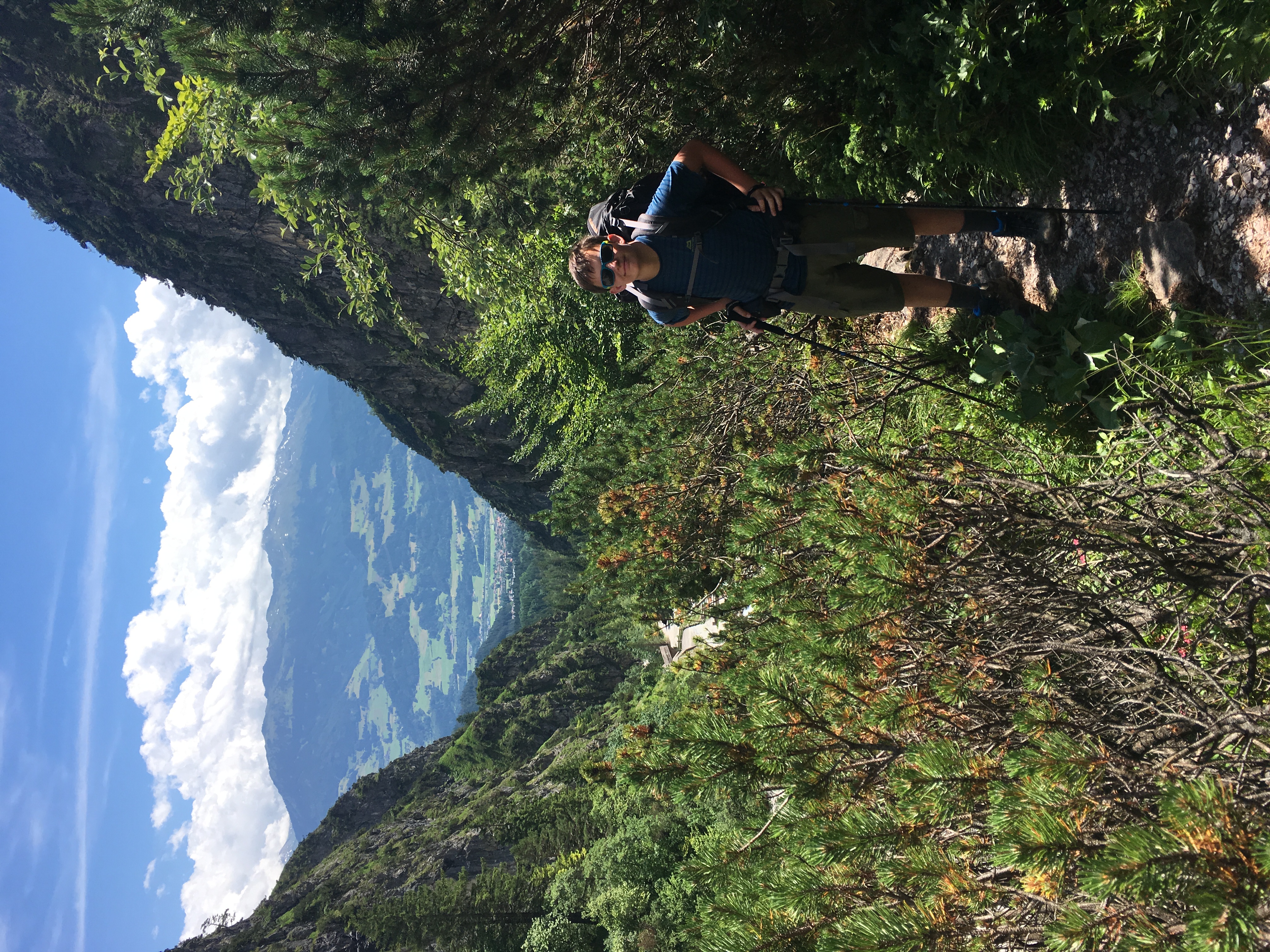
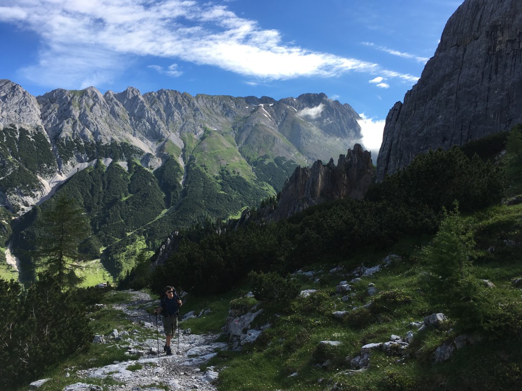
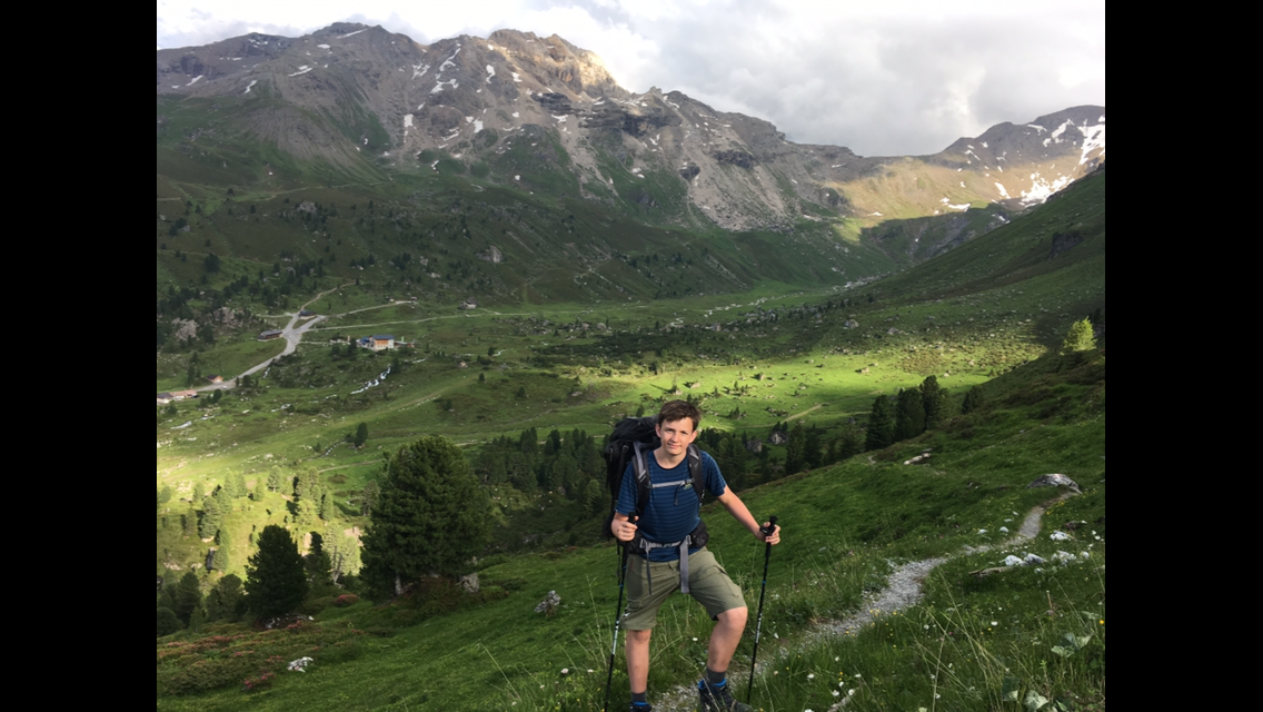
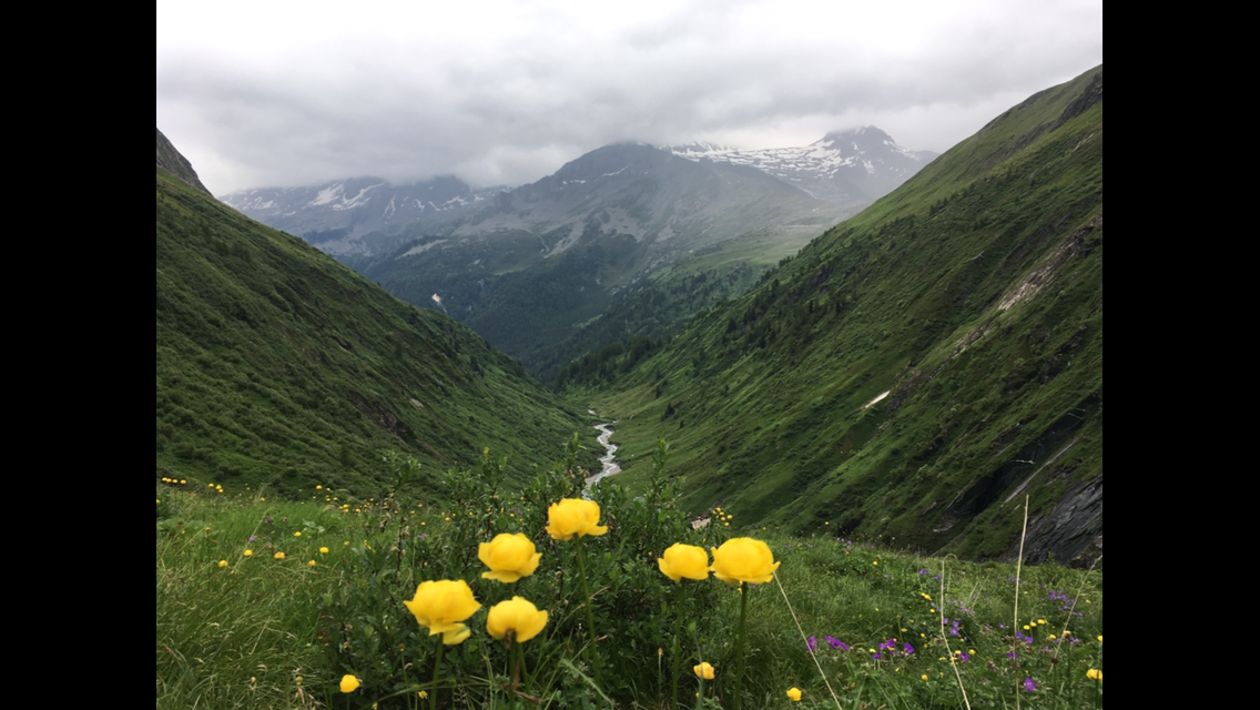
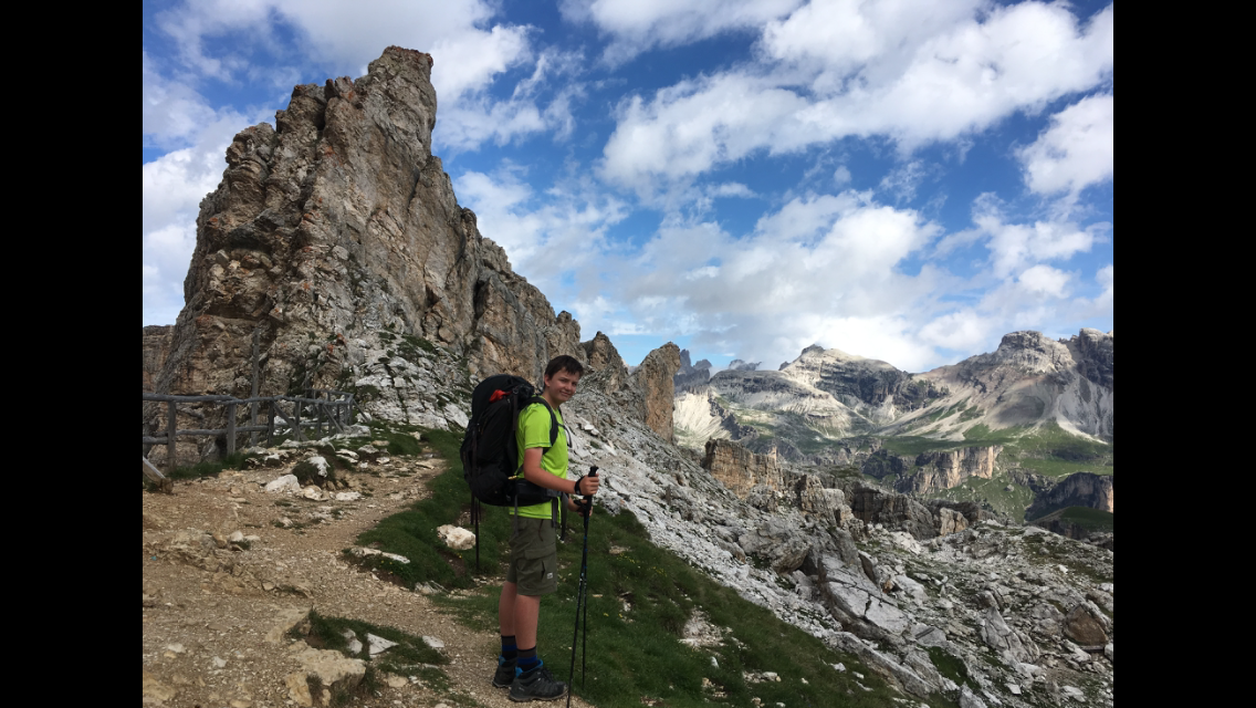
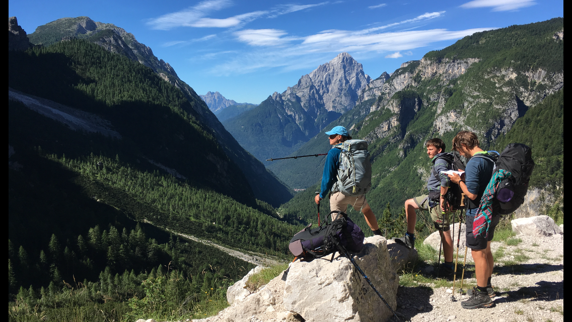
Until then the path rose fairly gently; from the Kastenalm that changes markedly. The trail gets steep, the walking poles come out, and the pulse climbs. We’re rewarded with dreamlike views back into the valley we’ve just left. Peik is happy that the sun is shining and the butterflies are flying — he catches plenty of them along the way. At 16:30 we reach the Hallerangerhaus at 1,768 m, a small, cosy DAV hut where we want to spend the first night of our tour. In the early season the hut still has plenty of room and we get a double room, so we dodge the snorers.

We sit on a bench in the sun not far from the hut and watch other hikers arrive one by one.

Finally we fortify ourselves with veal goulash with bread dumplings and a Germknödel for dessert.

Before turning in we play UNO with four girls and chat a bit. When one of them heard what we were planning she said: “I’d have gone through the ceiling if my parents had done a tour like this with me.” On that note: good night!

Chapter 3 · Stage 2 · July 4, 2016

To Hall near Innsbruck

Distance17.10 kmTime4:50:20Elevation309 m

Day 2

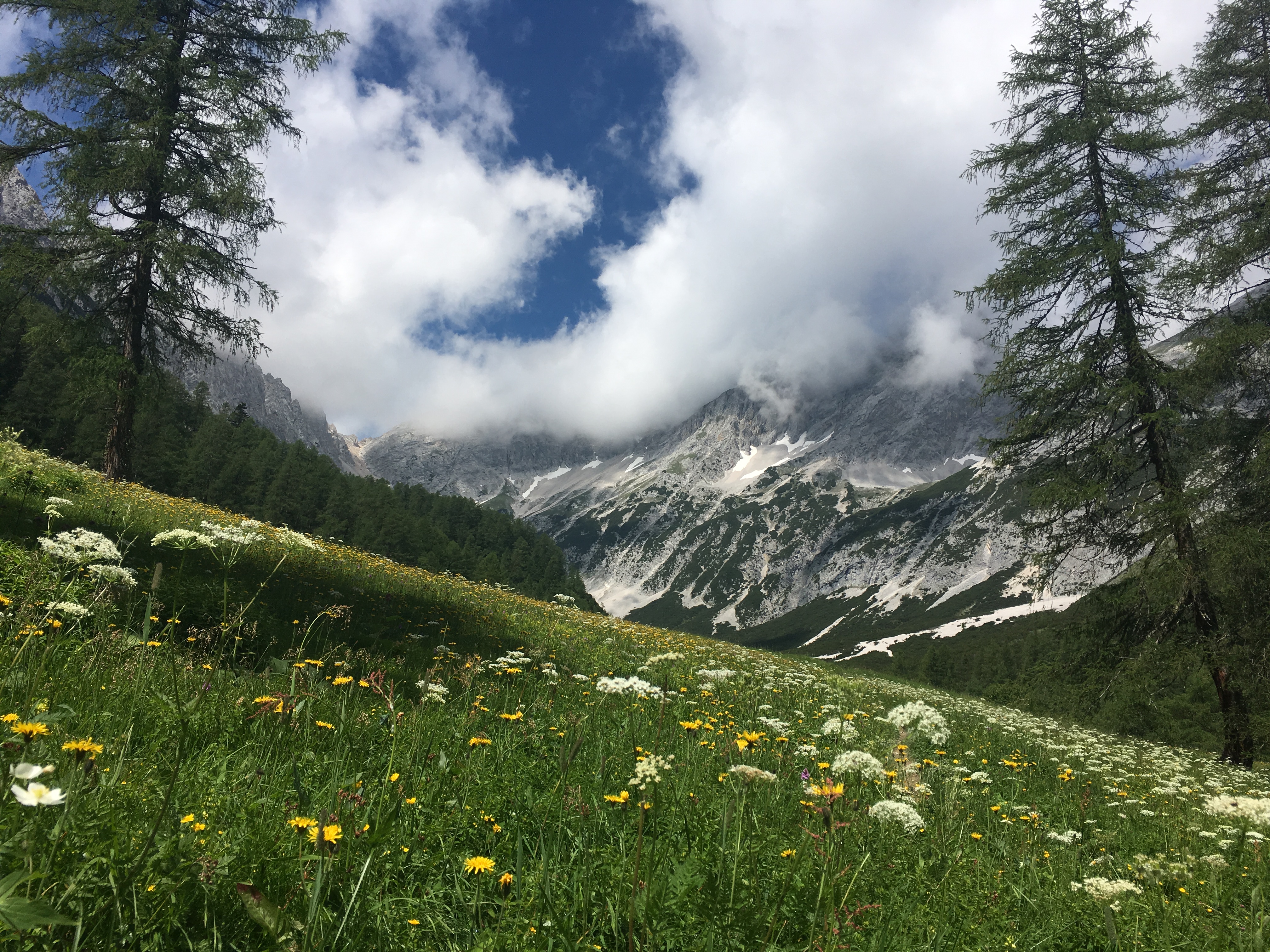
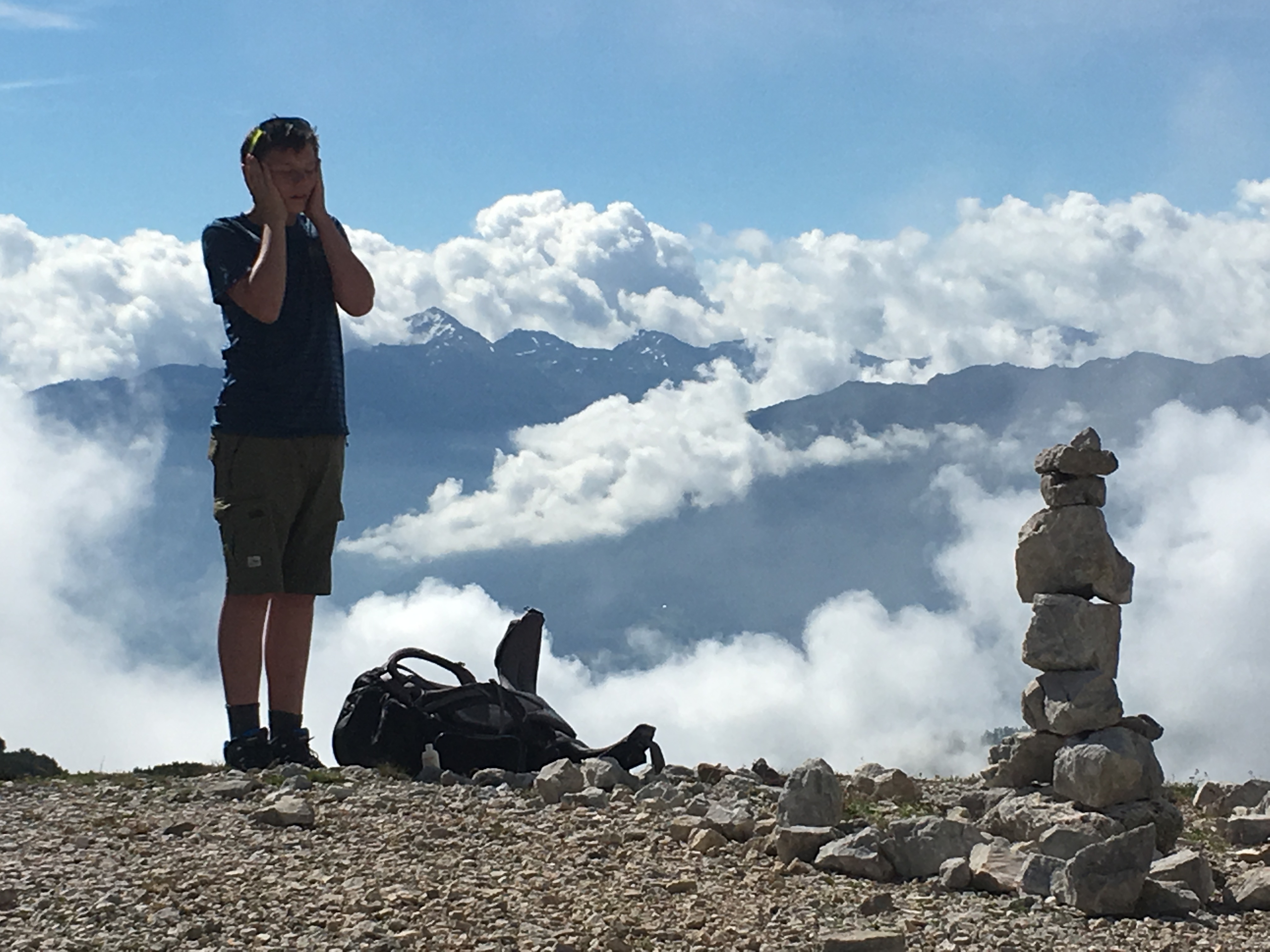
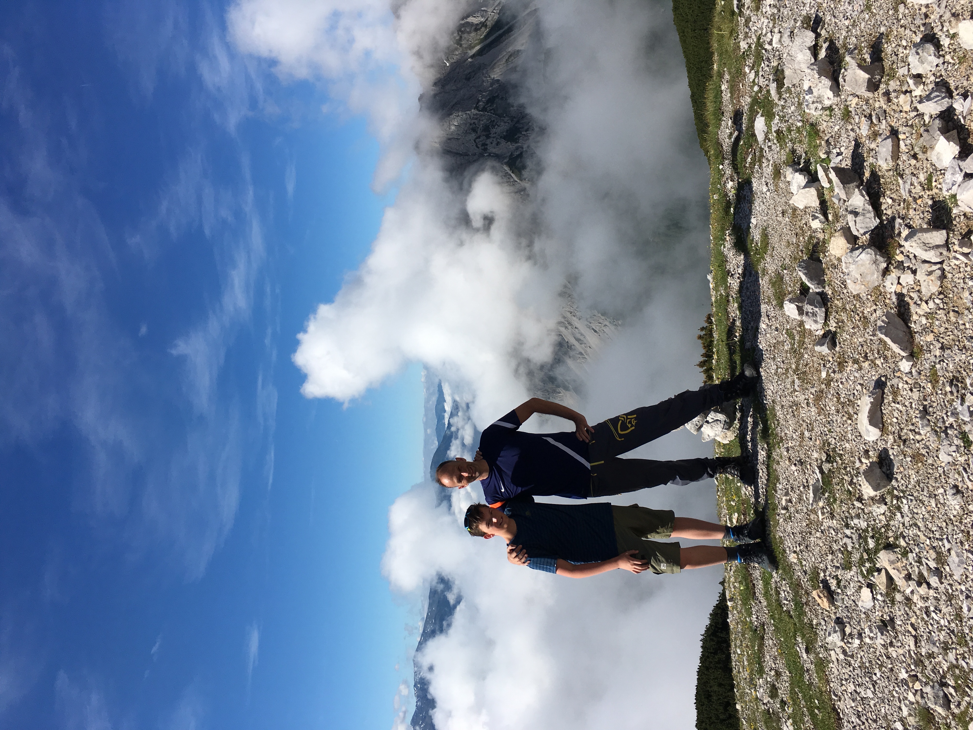
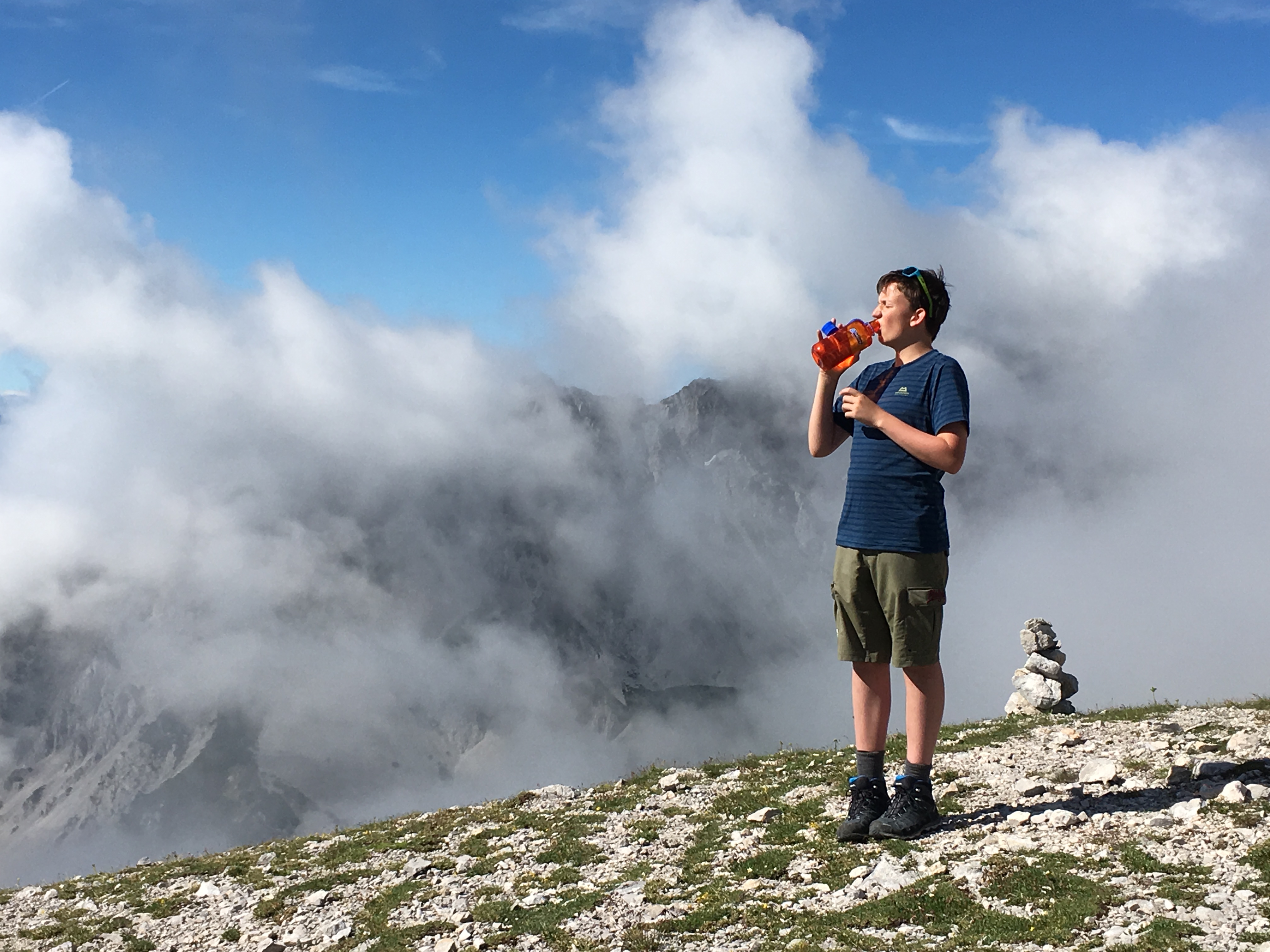
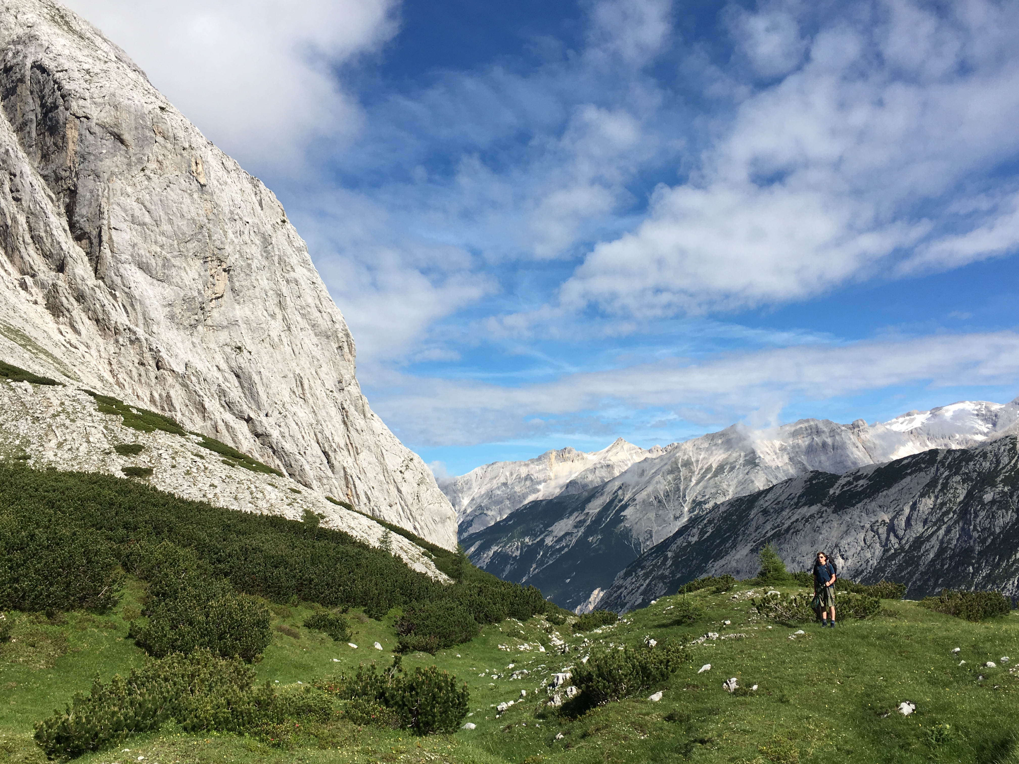
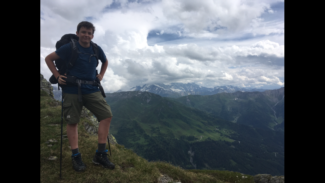
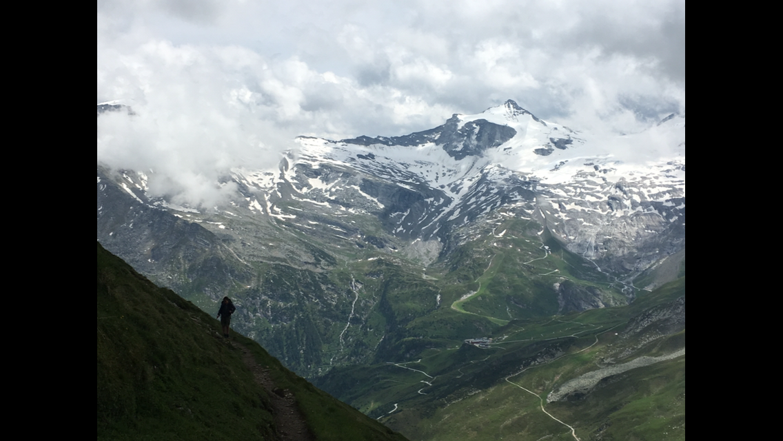
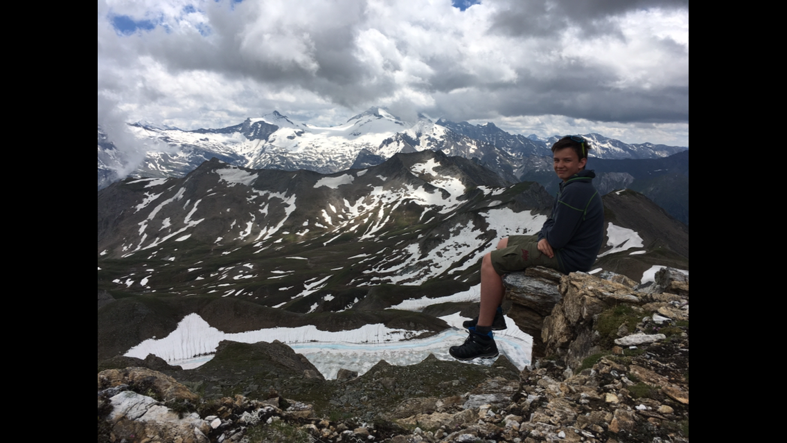
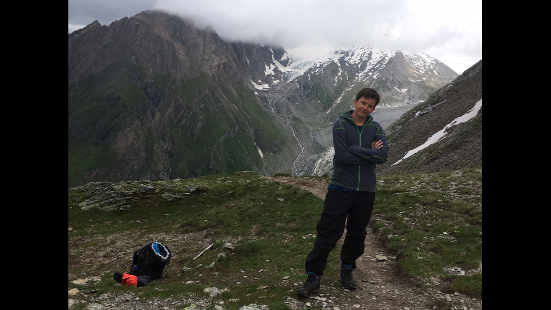
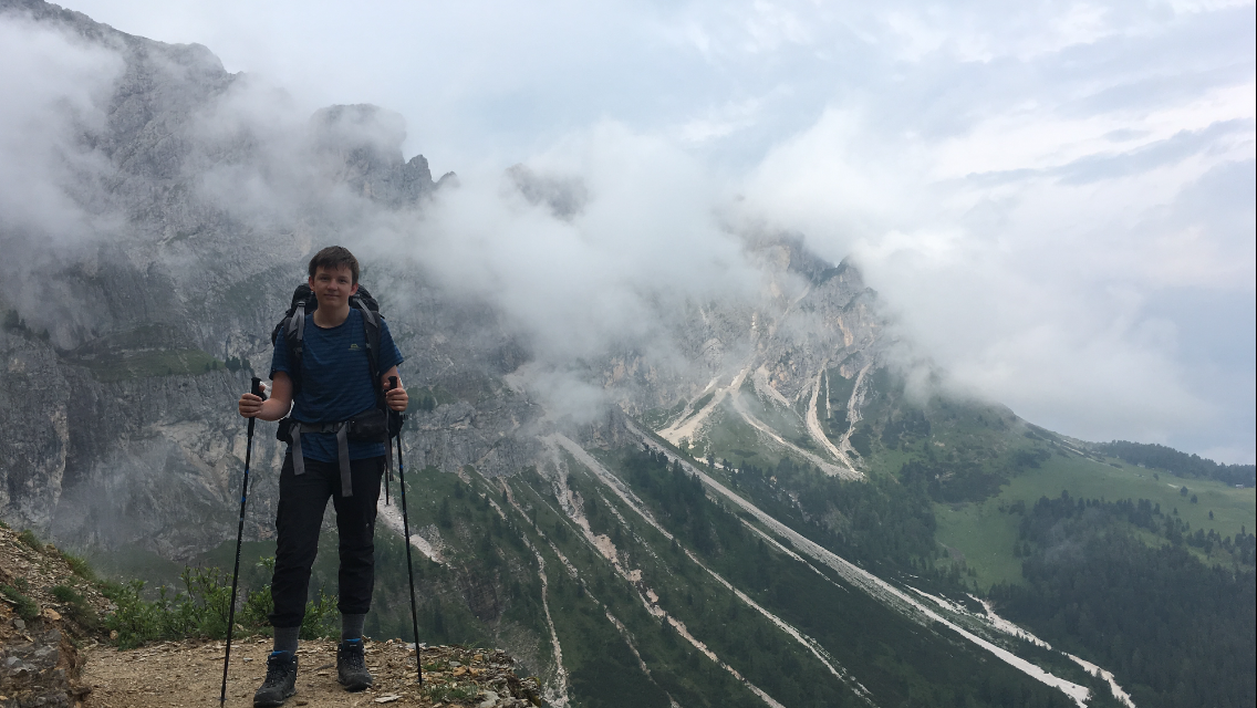
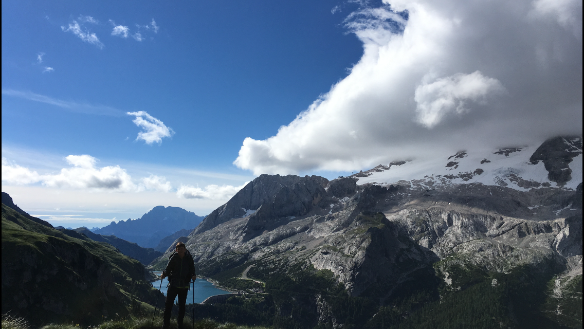
After a scant breakfast we set off around 8:30. Luckily we’re still walking in the shade, because the climb to the Lafatscherjoch is steep, even if it’s only 300 m of ascent. After about 40 minutes we’ve reached it and are rewarded with a fabulous view of the Alpine main ridge. The clouds hang quite low, but they part now and then and we shoot a few spectacular photos.

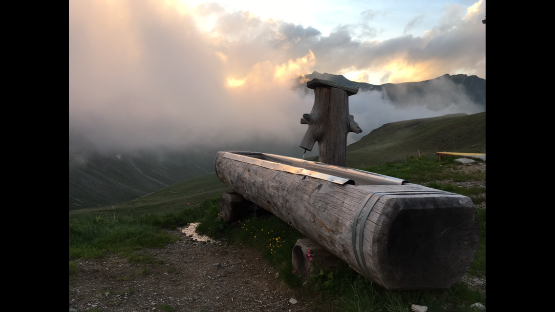
We set off downhill. From the pass at 2,085 m down to Hall in Tirol (our day’s goal) it’s 1,500 metres of descent. After about two hours we reach St. Magdalena, a church with a restaurant attached where we had meant to have lunch. Sadly it’s closed today! Luckily a few drinks are cooling in the fountain for self-service.

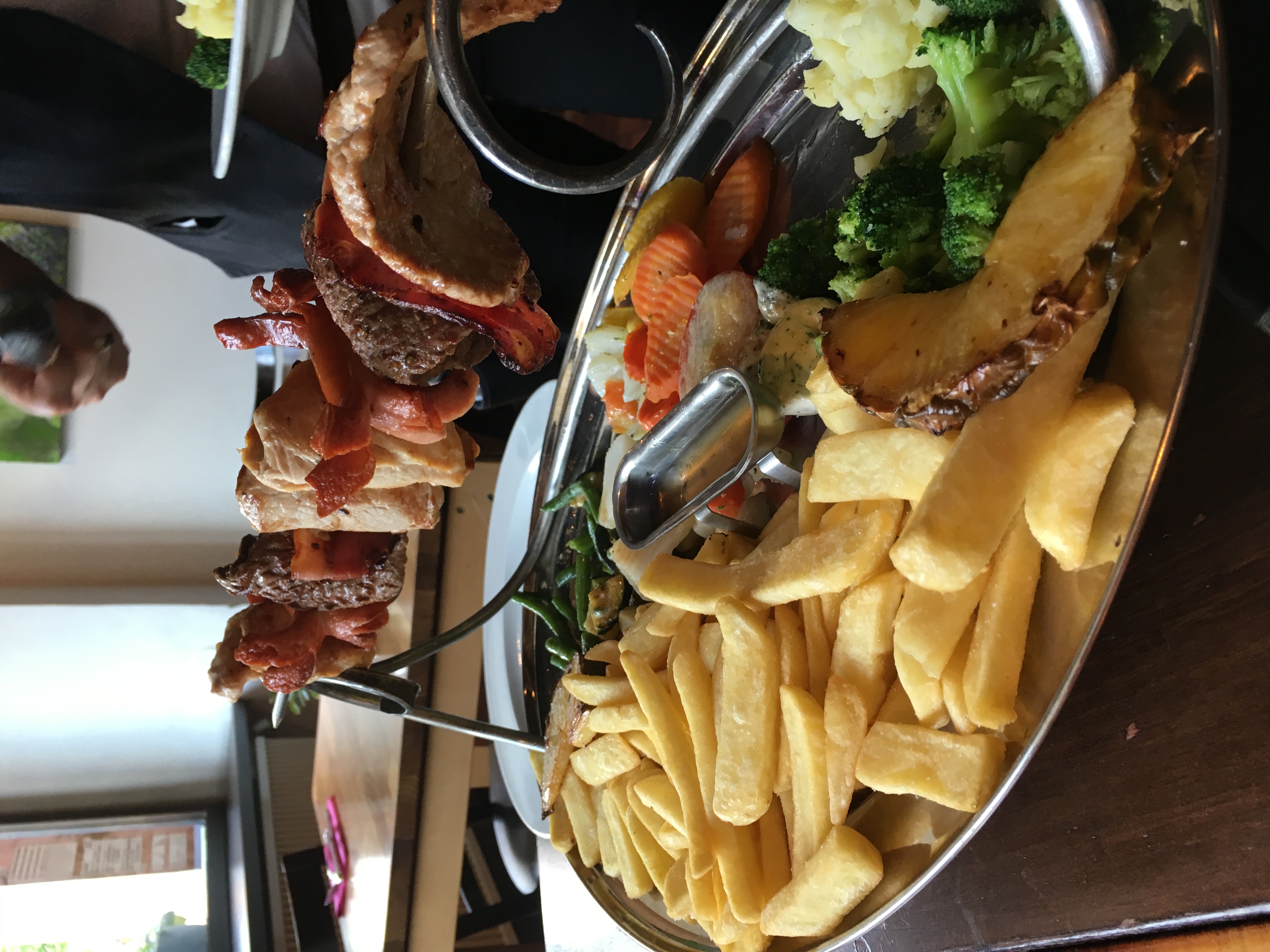
We swap three Almdudlers for €7.50 and quench our thirst. The rest of the route starts with a great descent through the forest before we reach the edge of Absam. From there we cover the last kilometres on asphalt until we finally reach our day’s goal, Hall in Tirol. Today we treat ourselves to a double room in the four-star hotel “Zum goldenen Engel” — we’ve earned it. We get the Wi‑Fi code and bring the blog up to date so the folks at home can follow along. At dinner time we pull the usual trick: we stop a local and ask for their favourite restaurant. The answer is the Geisterburg, and we don’t regret the visit. The Geisterburg platter for two tops up our calorie stores again. Hall has a beautiful old town, but unfortunately the pavements roll up at 19:00, so we have to skip ice cream for dessert. Now we hit the hay — tomorrow a long, tough stage awaits.

Chapter 4 · Stage 3 · July 5, 2016

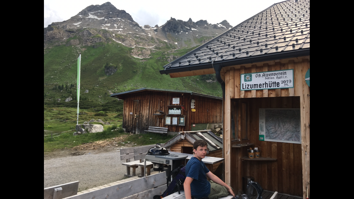
Up to the Lizumer Hütte

Distance18.48 kmTime6:15:22Elevation1065 m

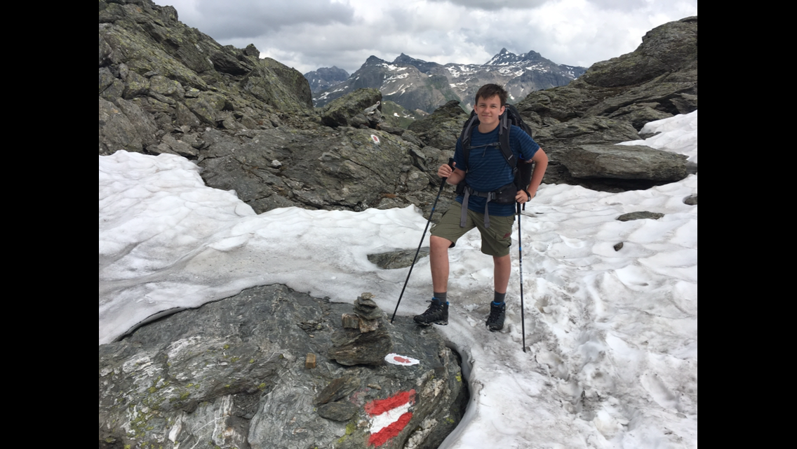
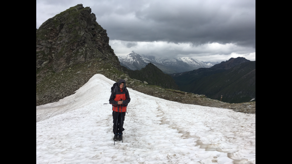
Even though our legs are crying out for a rest day after yesterday’s descent of over 1,500 m, we set the alarm for 7:10. The local girls yesterday tipped us not to climb to the Lizumer Hütte via the boring Wattental, but to take the cable car up to the Tulfeinalm and then go over the Naviser Jöchl. Without the cable car the day’s route isn’t doable, and even with it it’s still long enough (1,100 m up and 1,000 m down, walking time about 7½ hours). We start in glorious sunshine, but as we approach the Naviser Jöchl after 4½ hours it starts to drizzle. Luckily only briefly, and from the Jöchl we have a grand view into the neighbouring valley. At 2,479 m the Jöchl is the high point of today’s stage and we have to cross a few snowfields. I’m curious how that will go when we have to tackle the highest passes of the whole tour around 3,000 m. Did we start too early in the year?? The day after tomorrow we’ll know the answer.

The remaining three hours to the hut are tough, and when we run out of food I tell Peik stories from my army days until we finally arrive at the hut at 19:00. Walking time today 10½ hours minus about 2 hours of breaks. We fortify ourselves with tomato soup with sliced meat, and today the bed (thankfully again a double room) sees us early.

Chapter 5 · Stage 4 · July 6, 2016

To the Tuxer-Joch-Haus

Distance13.07 kmTime4:47:00Elevation1198 m

We set off around 8:50 as the last ones from the Lizumer Hütte. I’d actually expected more bustle in the huts, but so far it hasn’t been a problem getting a room without booking ahead. The holidays in Austria haven’t started yet, though, and the surrounding Alpine countries only have limited school holidays.

Today begins with an 800 m climb to the Geierspitze (2,854 m). At first a fairly gentle gradient, later very steep, and again we cross a few snowfields. That’s usually fine, except when you sink in with your hiking boots — they fill with snow and soak your socks. Just before we reach the Geierspitze the sky darkens and there’s a sudden mighty clap of thunder. Luckily it stays dry, and after three more thunderclaps the fuss is over.

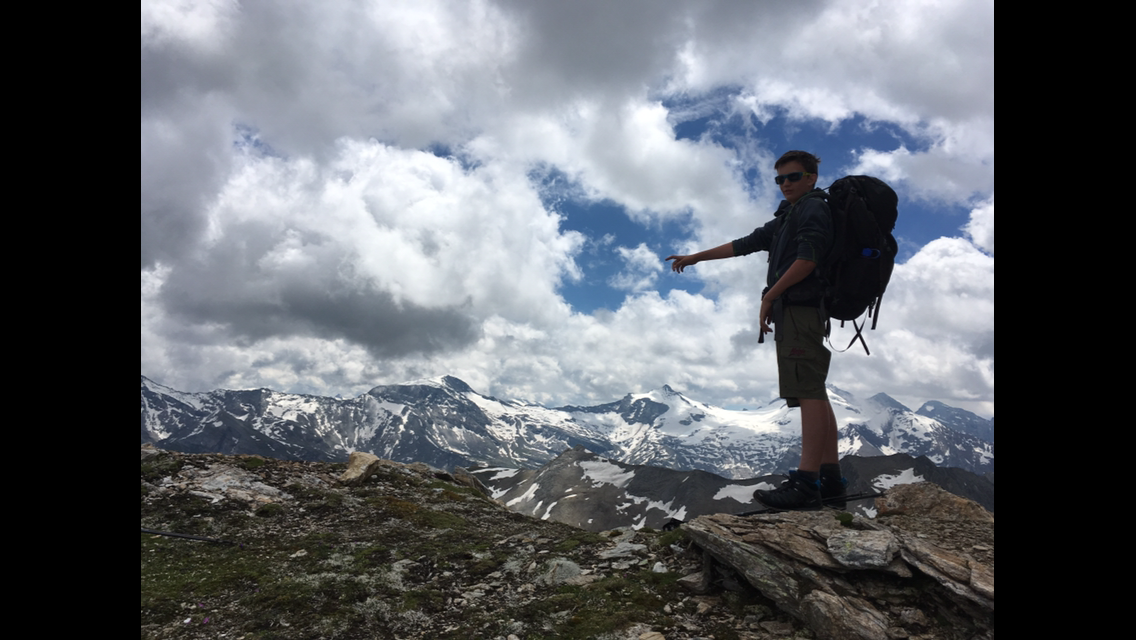
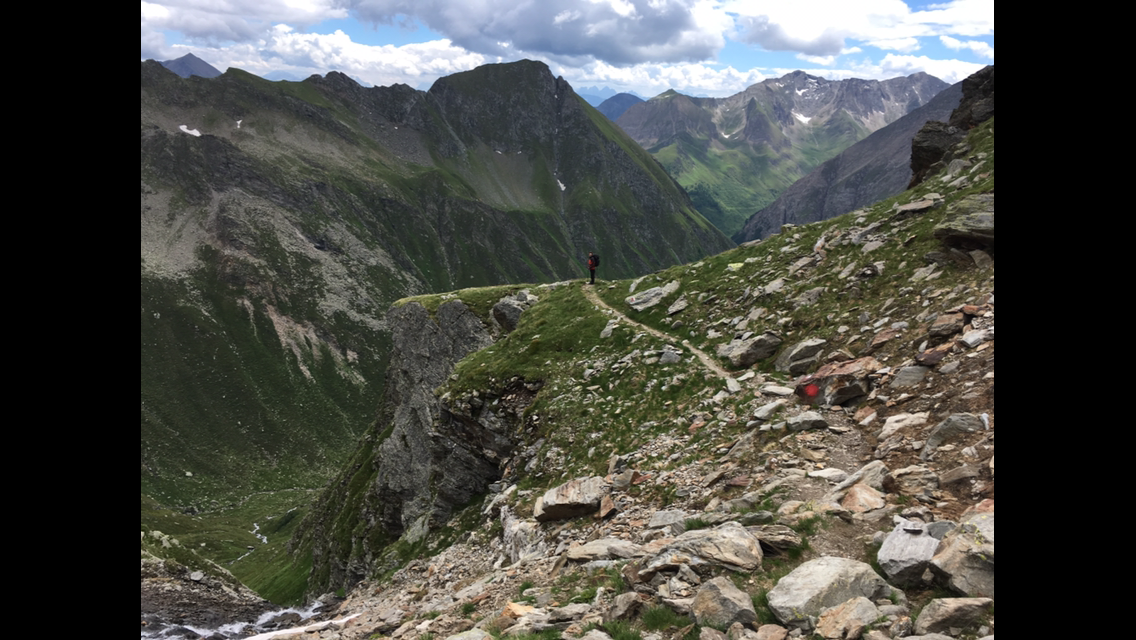
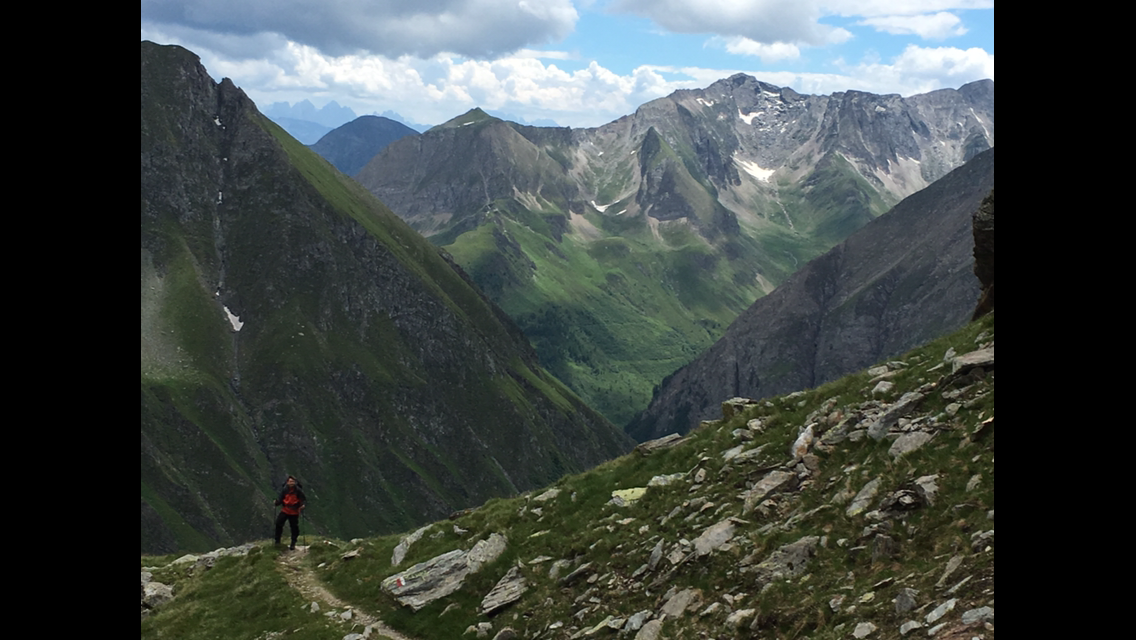
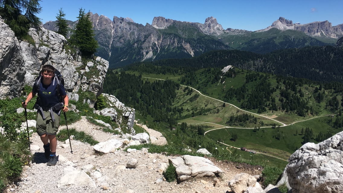
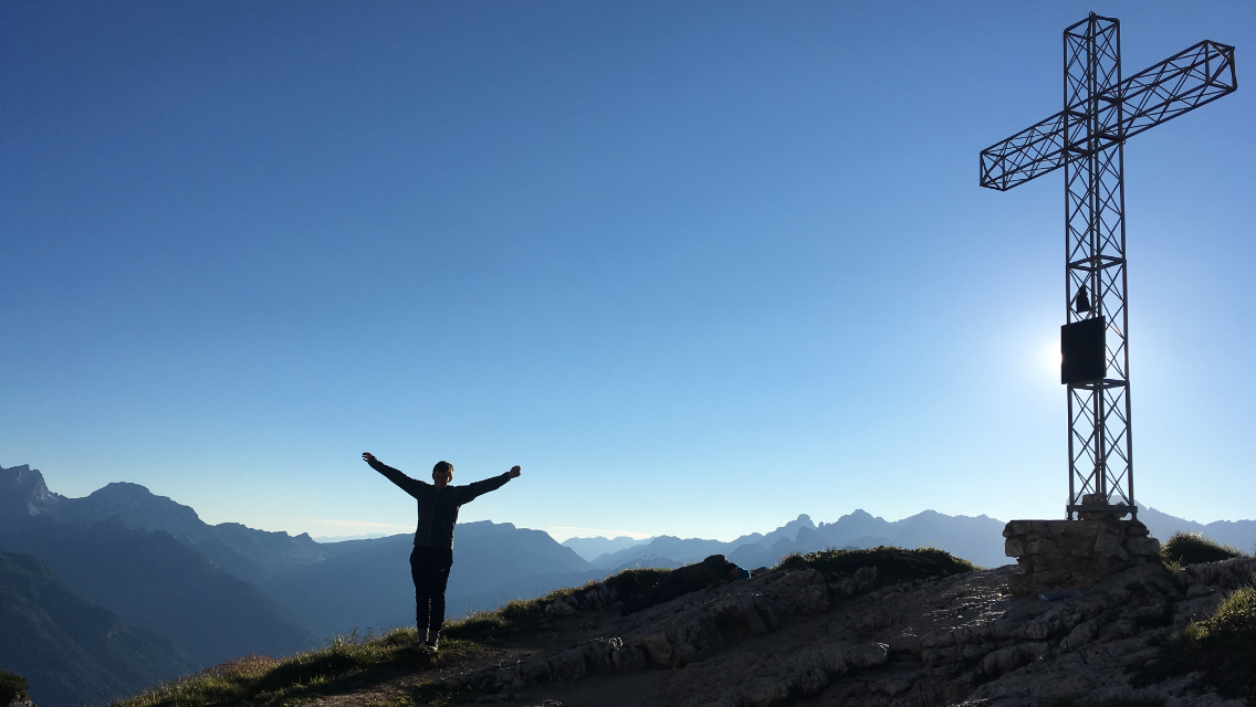
When we reach the Geierspitze after a three-hour climb we’re rewarded with a magnificent view. We’re looking straight at the Tux Alps, a very popular summer ski area. We can’t take enough photos — the panorama up here is so glorious. But we’ve only done about a third of today’s quota: waiting for us is a roughly 350 m descent to the “Toten Böden” followed by a climb to the Gschützspitzsattel. That’s even airier than the Geierspitze, and on the south side it drops very steeply for over 600 m. A misstep here would not end well. So we walk carefully and concentrated along the mountainside until it finally becomes less steep and zigzags into the valley. Marmots squeak everywhere, we see an adder (how does it find a partner up here?) and in the distance a chamois. At last we’re in the valley; now there’s one last climb of another 300 m on a thankfully decent path before we reach the Tuxer-Joch-Haus at 17:20, our overnight stop.

Chapter 6 · Stage 5 · July 7, 2016

Over the Friesenbergscharte (highest point of the tour) to the Dominikushütte

Distance12.07 kmTime3:51:25Elevation515 m

In the middle of the night I wake up and massage my thighs and calves. Feels good. When I wake again at 7:20 the sun is smiling through the window from a cloudless sky. Better conditions for crossing the Friesenbergscharte — at 2,910 m the highest point of our Alpine crossing — you couldn’t wish for. At breakfast the hut hostess tips us to shorten the climb to the Friesenbergscharte a bit by using the Sonnenbergbahn for part of the elevation. Given the 15 hiking days still ahead, we gladly take the advice.

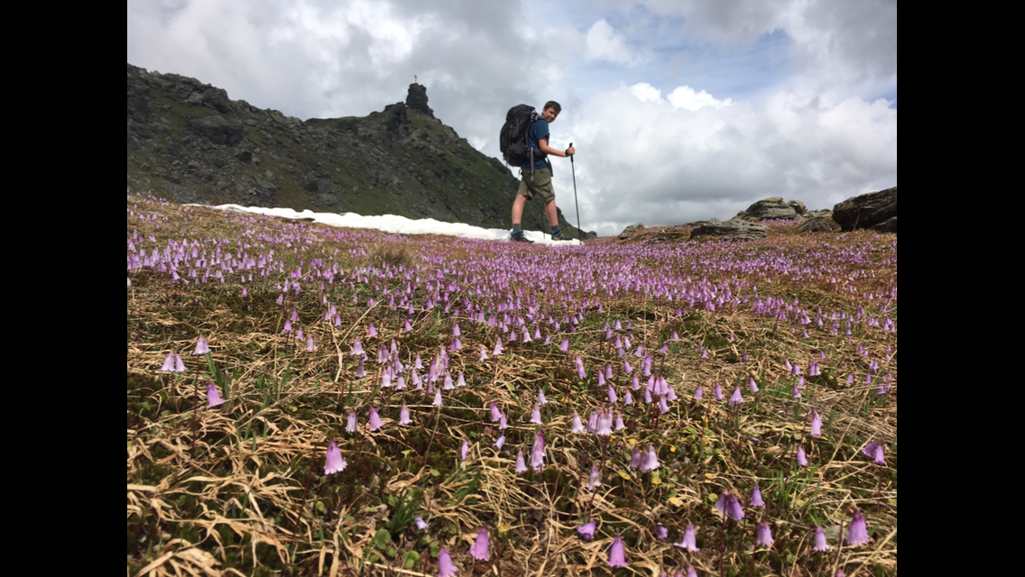
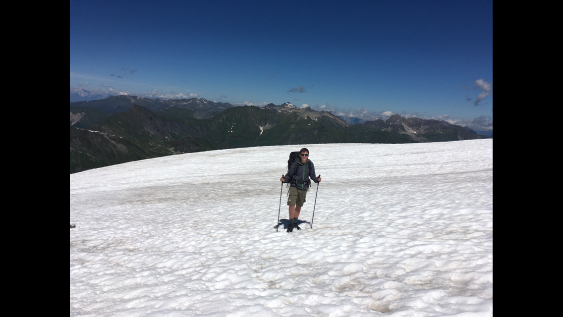
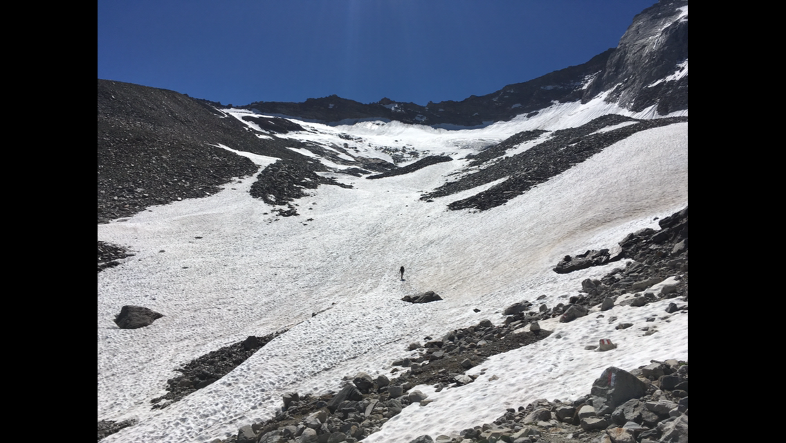
After 45 minutes downhill we’re at the mid-station of the cable car that takes us up to 2,500 m. We drop a few metres to the Spannagelhaus, where the climb to the Friesenbergscharte begins. The snowfields get more numerous and larger, but they’re no problem because the snow is quite hard. The only exception is the transitions from rock to snow, where the snow is very brittle.

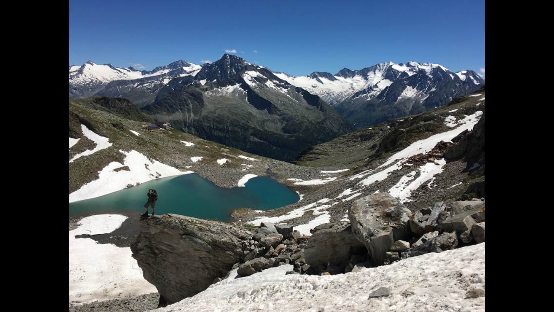
The last snowfield is properly steep again and takes some concentration, but around midday we’re standing on the Friesenbergscharte at 2,910 m. The wind whistles round our ears and after a quick photo we descend the other side. The path is the hardest so far and is secured with steel cables — necessary too, since the ground beside the trail drops about 100 m more or less vertically. After about 20 minutes of maximum concentration the terrain flattens and we use the rest of the way to the Friesenberghütte for dreamlike photos.

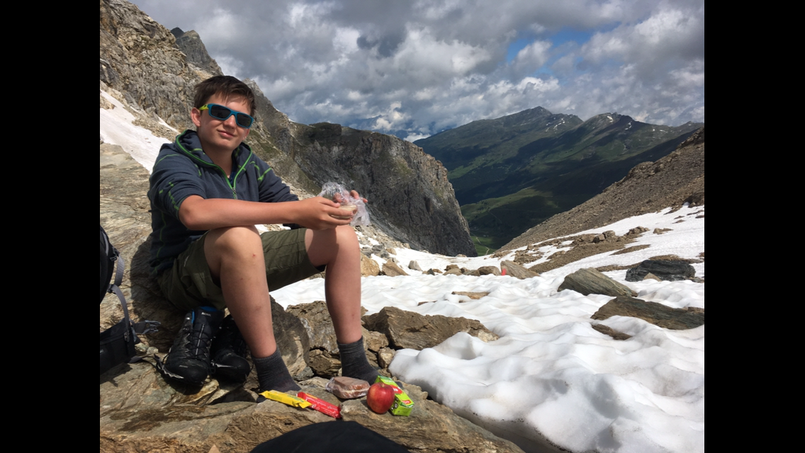
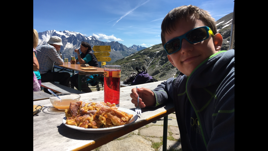
When we reach the Friesenberghütte we’re well on time, hunger is gnawing and the menu invites us to linger. Peik tucks into a huge Kaiserschmarrn; I have baked potatoes with bacon and sour cream. Mega delicious. We linger an hour on the sunny but draughty terrace before descending the remaining 700 m into the valley in about two hours. When we arrive at the Dominikushütte we’re already greeted warmly. Tore and Inken, whom we met the day before and who took the bus from the Tuxer-Joch-Haus to the Dominikushütte bypassing the Friesenbergscharte, have already announced us.

We’re in luck: the Dominikushütte has a TV, so the Euro semi-final between Germany and France is secured. Sadly 0–2 and the dream of the Euros is over. But we had an unforgettable day.

Chapter 7 · July 8, 2016

No WiFi – Bad images

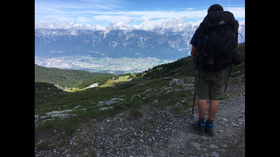
Unfortunately none of the overnight stops so far (apart from Hall on day 2) had Wi‑Fi. So I can only publish photos in poor resolution. I hope it’s better than nothing.

Chapter 8 · Stage 6 · July 8, 2016

Across the Italian border to Stein

Distance14.92 kmTime3:35:12Elevation475 m

Today we get going only sluggishly, but that doesn’t matter since we have a relatively short stage ahead. Overnight the host of the Dominikushütte kindly washed our dirty clothes — what a luxury!!

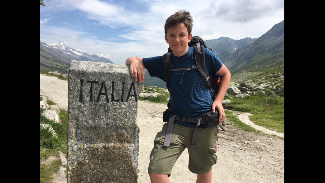
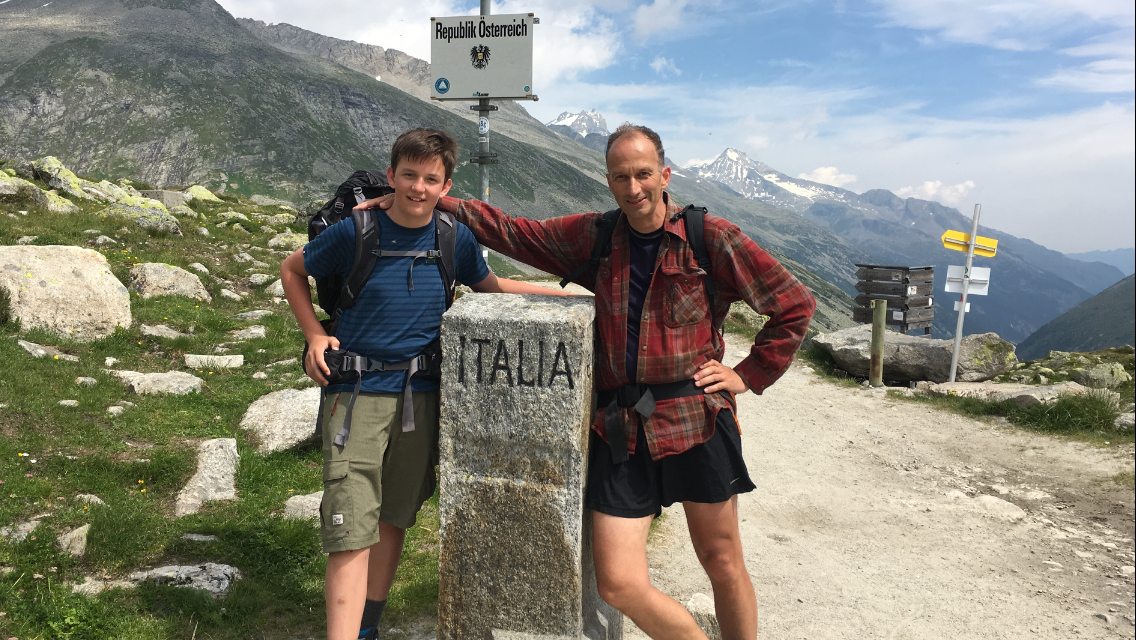
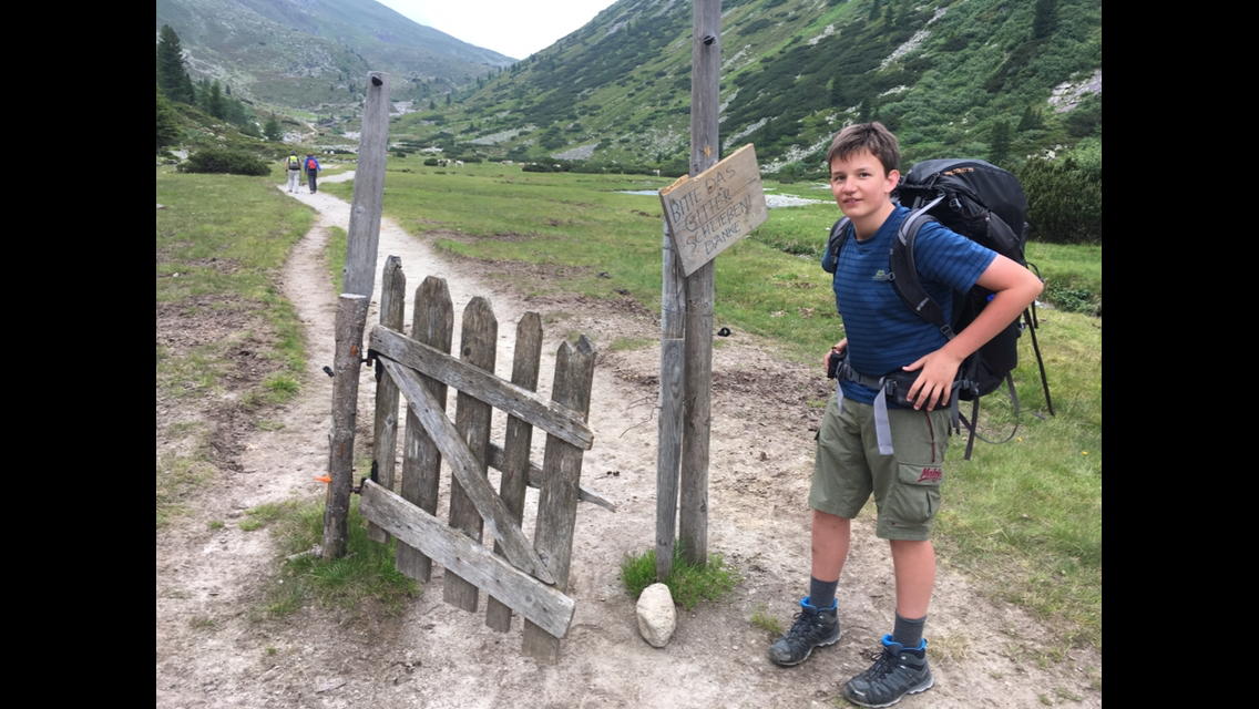
The first two hours run gently uphill to the Pfitscher Joch, which forms the border between Austria and Italy. There’s also a small chapel there, so many pilgrims walk this roughly two-hour route (400 m ascent). Just beyond the pass there’s an inn, and since the sun is shining again we settle down there too. We also meet Inken again, who’s waiting there for Tore.

After about an hour we set off on the descent into the neighbouring valley to Stein, today’s destination. We don’t take the hiking trail but the slightly longer, less steep gravel road. Peik uses the chance to pursue his great hobby — catching butterflies. The enthusiasm is especially high when he manages to catch an Apollo butterfly, almost wiped out in Europe. Since it’s on the Red List, Peik lets it go again — not without properly recording the catch on photo and video first. Around 16:00 we arrive in the tiny village of Stein, where we’ll stay tonight. Again we haven’t reserved, but the first of the two inns already has a double room free for us.

We rest for the rest of the day, because tomorrow the longest and toughest stage so far awaits — 2,600 metres of ascent and descent in total. Good night!!

Chapter 9 · Stage 7 · July 9, 2016

Long day to Pfunders

Distance14.88 kmTime4:37:37Elevation1132 m

Day 7: Pfunders

The alarm goes off at 7:10 today, breakfast at 7:30, since we have one of the longest stages ahead. It’s split in two: first a climb of 1,150 m (about 4 hours), then a descent of 1,500 m (about 3 hours). Shortly after setting off we have our first stop — Peik wanted to walk back to the spot where he’d found the extremely rare Apollo butterflies yesterday. Sadly it’s cloudy today, so the detour is unsuccessful.

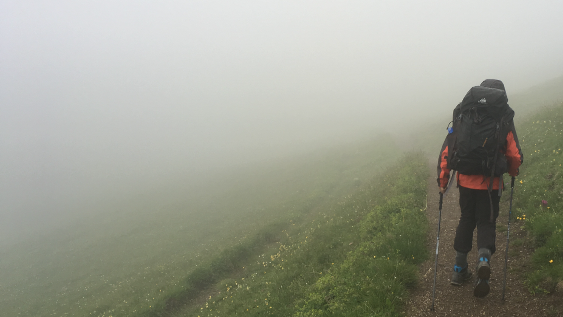
The climb is long and tough. At first through forest and dense vegetation, later over meadows and finally over scree. About 30 minutes before we reach the ridge at the high point, drizzle sets in. For the first time on the hike we put on our rain gear. When we stand on the ridge the cold wind whistles round our ears and we only linger briefly. On the other side another snowfield awaits, but barely a few minutes into the descent it gets noticeably warmer and we switch back to short clothes.

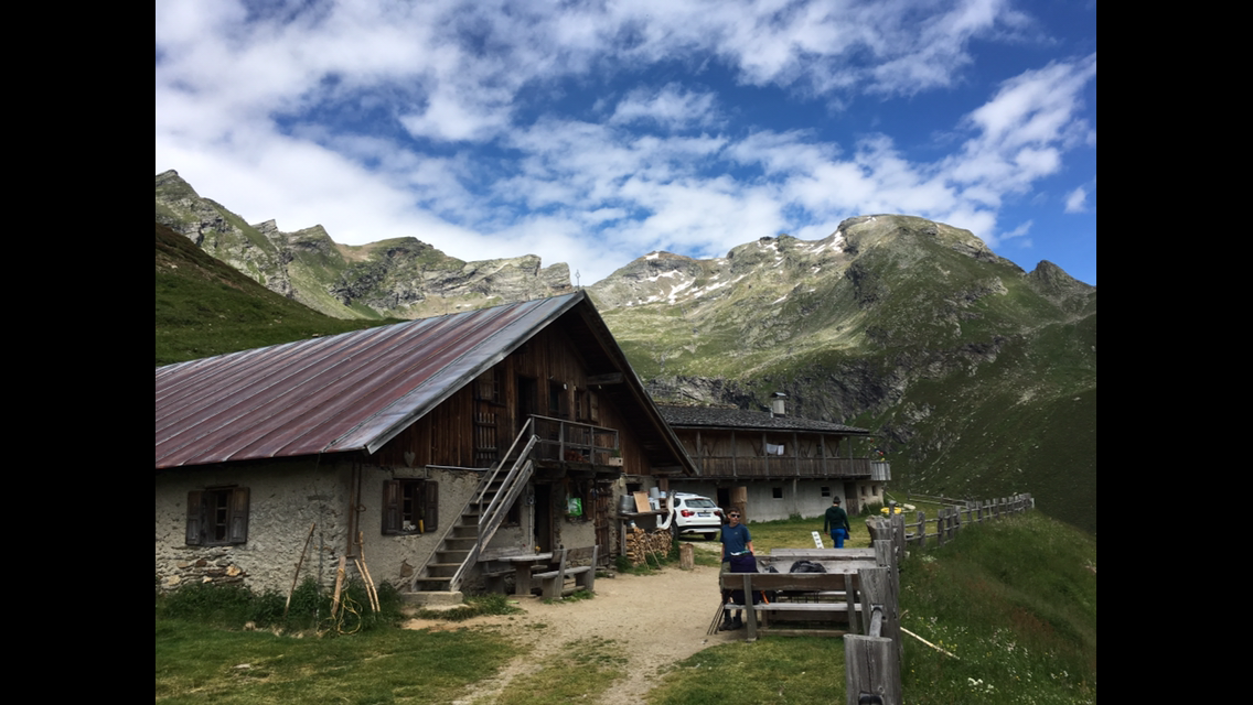
After about an hour of descent we pass a cosy alm and treat ourselves to elderflower spritzer and homemade goat’s cheese with bread. Delicious!!

Shortly after leaving the alm Peik spots rare butterflies and sets off on the hunt. I walk on and wait half an hour for him at the next junction. He’s thrilled with his catch, as he has been throughout the whole hike. When he tells me he likes the tour much better than he’d imagined beforehand, that’s a good feeling for me too.

Around 17:00 we hit a paved road on which we were supposed to descend another 400 m over 4 km. Finding that pretty boring, we simply ask a hiking couple just returning to their car whether they can kindly give us a lift for those 4 km — and we’re in luck. So we skip the last hour on asphalt and arrive in good spirits at the Wieserhof, tonight’s lodging.

For dinner there’s cheese dumplings from their own dairy. Super delicious!!! I also use the washing machine to wash a few clothes.

Chapter 10 · Stage 8 · July 11, 2016

Up to the beautiful Kreuzwiesenhütte

Distance17.93 kmTime4:56:21Elevation1290 m

Chapter 11 · Stage 9 · July 11, 2016

Relaxed up to the Würzjoch

Distance15.45 kmTime4:29:22Elevation728 m

Today was another beautiful day with glorious sunshine and temperatures up to 30 degrees. Tomorrow the forecast looks grim — lots of rain and thunderstorms and a temperature drop, and the day after even down to minus 5 during the day!! We’re thinking about how to continue.

Chapter 12 · Stage 10 · July 12, 2016

In the rain to the Buez hut

Distance13.11 kmTime3:54:23Elevation886 m

We set off early, because thunderstorms are forecast from 10:00. After two hours and 350 m of ascent we reach the Schlüterhütte, the last quarter-hour walking in the rain and hearing thunder rumble in the distance. At the Schlüterhütte we take an early lunch break with fried potatoes and fried egg. Around 12 we hope the storm has moved on so we can set off again.

Chapter 13 · Stage 11 · July 13, 2016

Sun and rain over the Grödner Joch

Distance12.39 kmTime3:41:39Elevation779 m

Day 11: Up to the Pisciadu hut

The night is not good. We’re in a dorm with 4 bunk beds of 3 people each. No ventilation! We turn in around 21:45 but I wake again at midnight. I’m boiling. After coming back from the toilet I try to get some fresh air by leaving the door open, but one of those lying by the door closes it again at once. Keep sweating! Outside there’s heavy thunder and lightning and the rain beats on the skylight. Eventually I do fall asleep again, but at 6:10 the first person in the room starts rummaging in their plastic bags and the night is finally over.

The upside is we can set off around 8:00. In brilliant sunshine we head from the Puez hut towards the Grödner Joch, where we want to stop today. We don’t get far — the view is too magnificent and we can’t help shooting a few photos. The path over the Ciampaijoch is easy. As we climb the Cir-Joch many hikers come towards us who started from the Grödner Joch and are walking up here. When we reach the very beautiful but unfortunately also extremely touristy Grödner Joch around midday, dark thunderclouds gather. Just in time we duck into the restaurant for lunch. Meanwhile it pours outside. Hoping for improvement we linger quite a while in the dry and wonder whether to climb on to the next hut or not. Since the Grödner Joch is a proper tourist trap, though, the decision isn’t really hard.

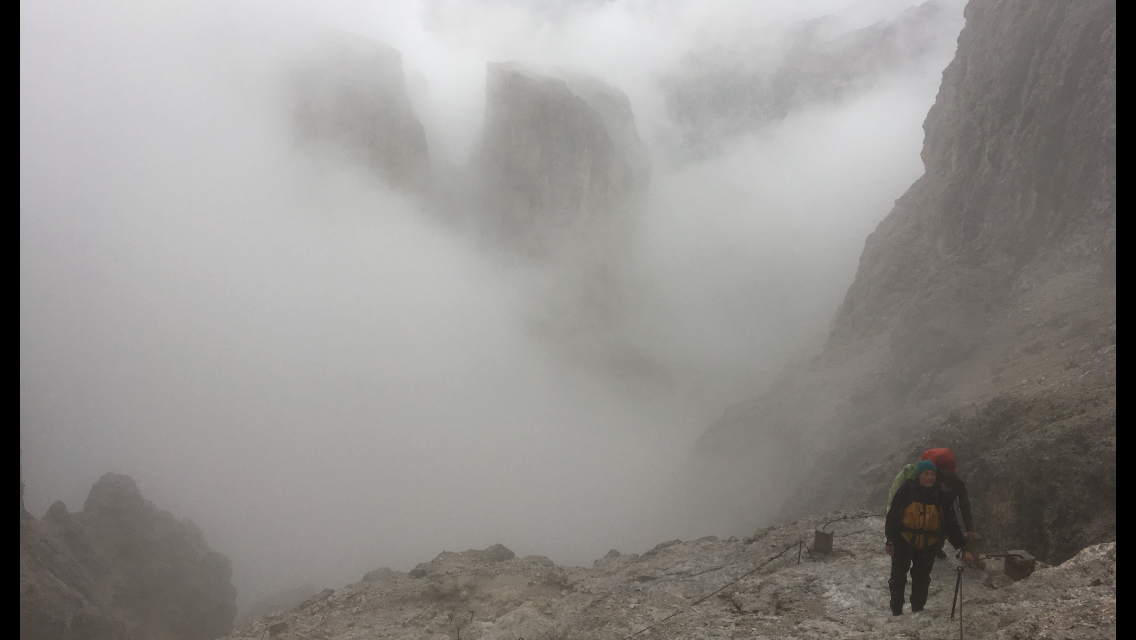
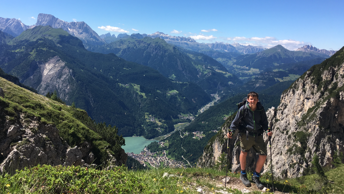
When we leave the restaurant it stops raining. The path climbs steeply and I don’t know how we’re meant to get up the mountain — I can’t make out a trail. After a short stretch it zigzags even steeper and finally the path empties into a small via ferrata. Steel cables and footholds ease the climb for the next 20 minutes. We’re really glad of that, because meanwhile the rain has started again, making the rocks very slippery, and thunder is rumbling above us again. Just as we reach the top the cloud cover breaks and we have a gigantic view.

Chapter 14 · Stage 12 · July 14, 2016

Through fresh snow past Piz Boè

Distance8.82 kmTime2:36:59Elevation521 m

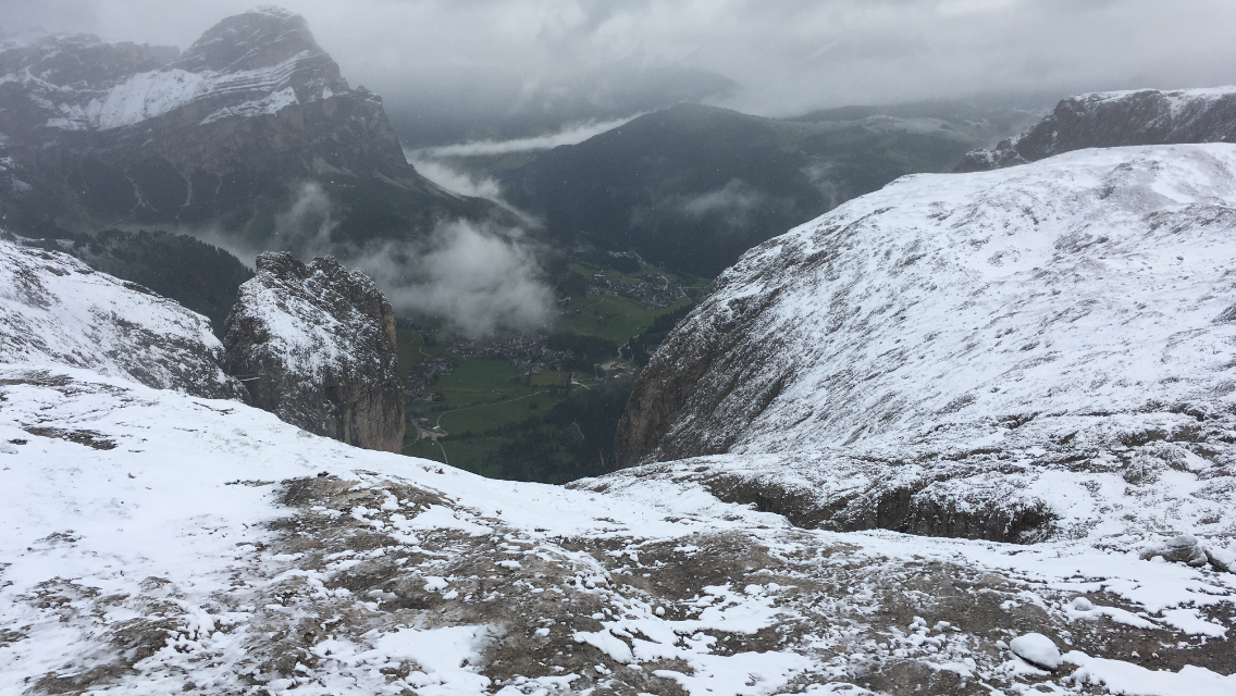
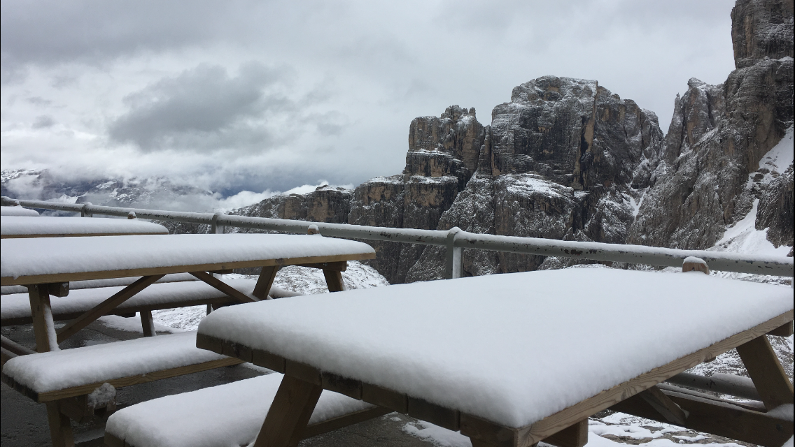
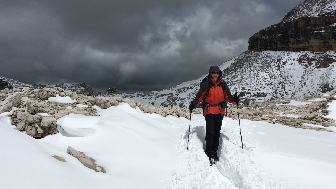
Last night the snow line dropped to about 2,000 m — we’re at 2,550 and wanted to go up to 3,000 today. Looking out the window this morning shows yesterday’s landscape: covered in snow!!

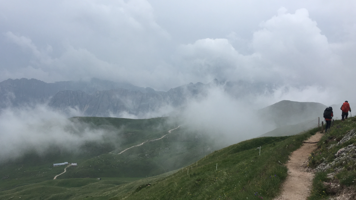
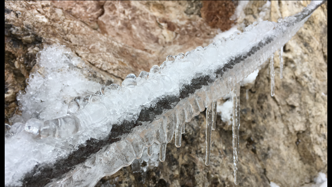
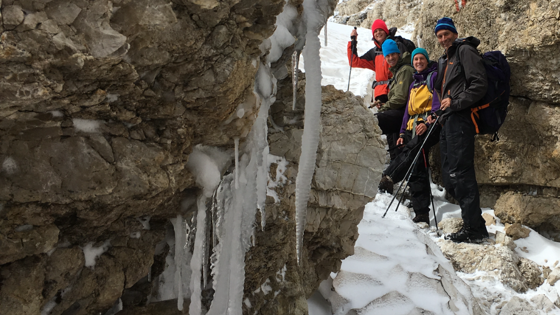
At breakfast we hear the forecast, which predicts better weather for the second half of the day. So we wait until 9:30 before setting off. The fresh snow doesn’t make walking easier, but not much harder either. After about 30 minutes we reach the next climbing cable. It’s partly frozen, but luckily not for long. Shortly after we’re on the plateau and walk in pleasant surroundings towards the Boè hut, which sits at almost 2,900 m. On the way there we also reach 2,970 m and thus the highest point of our tour. At the Boè hut we have lunch and then walk on in about an hour to the Pordoi saddle, from where a cable car runs into the valley and saves our knees 600 m of descent in 5 minutes’ ride.

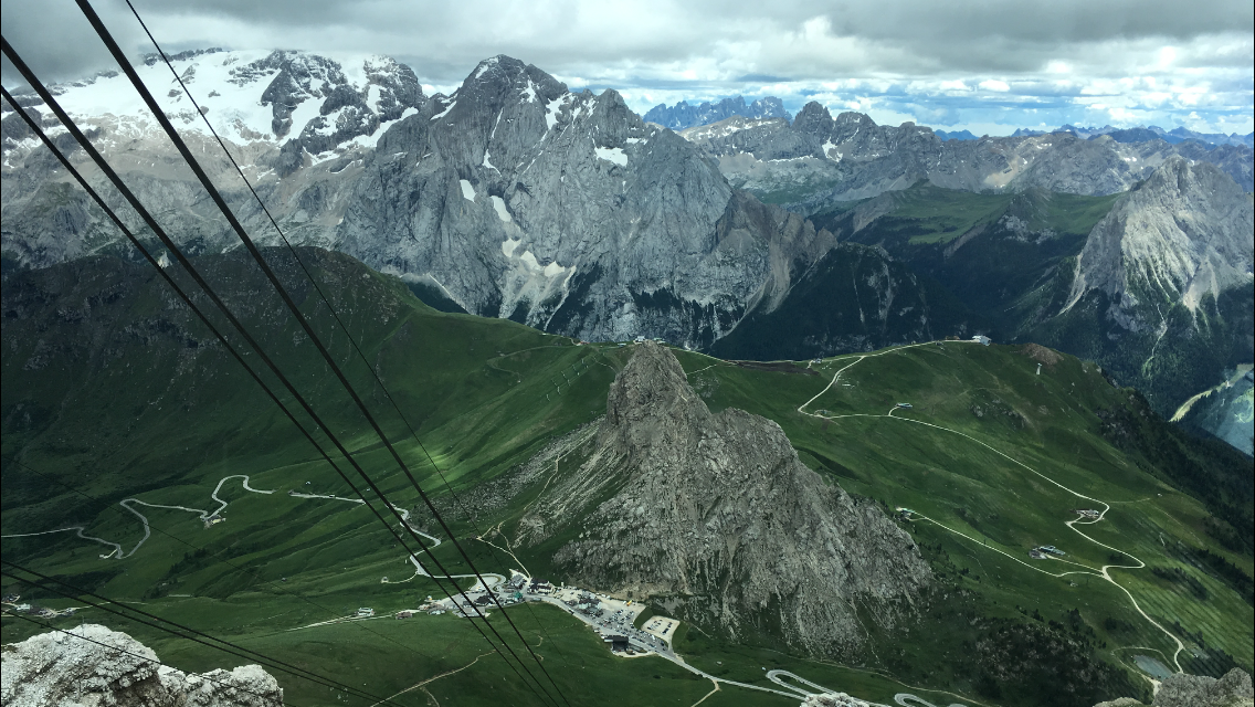
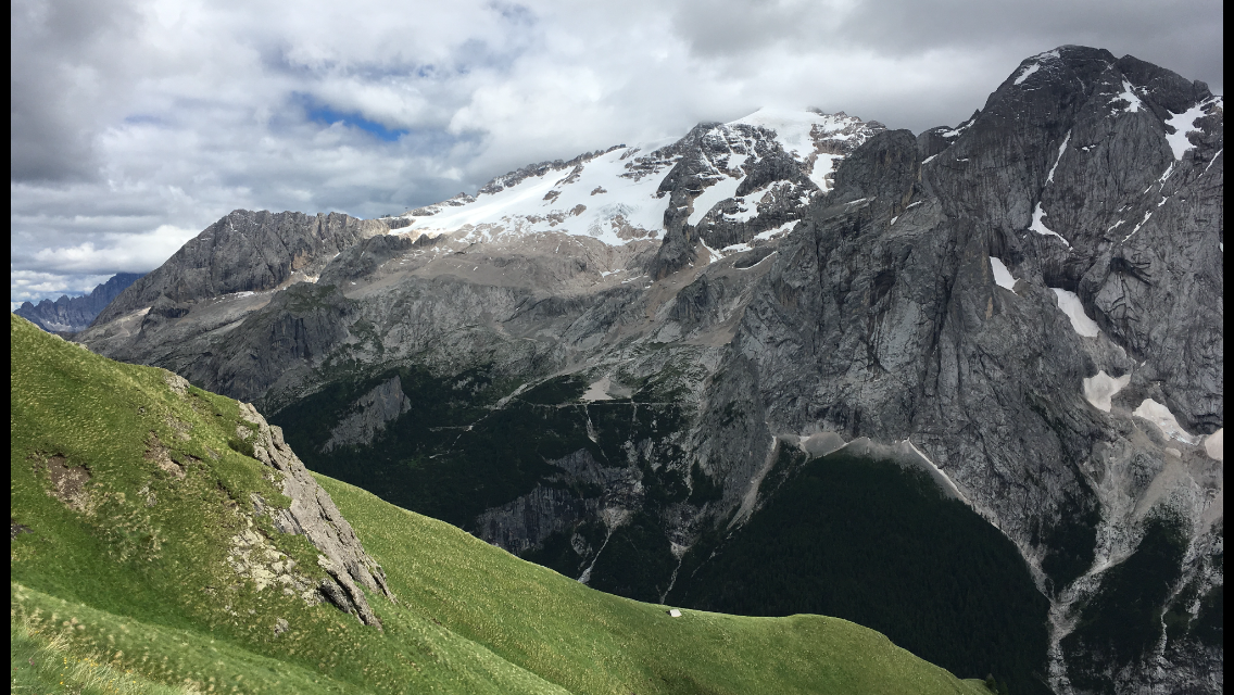
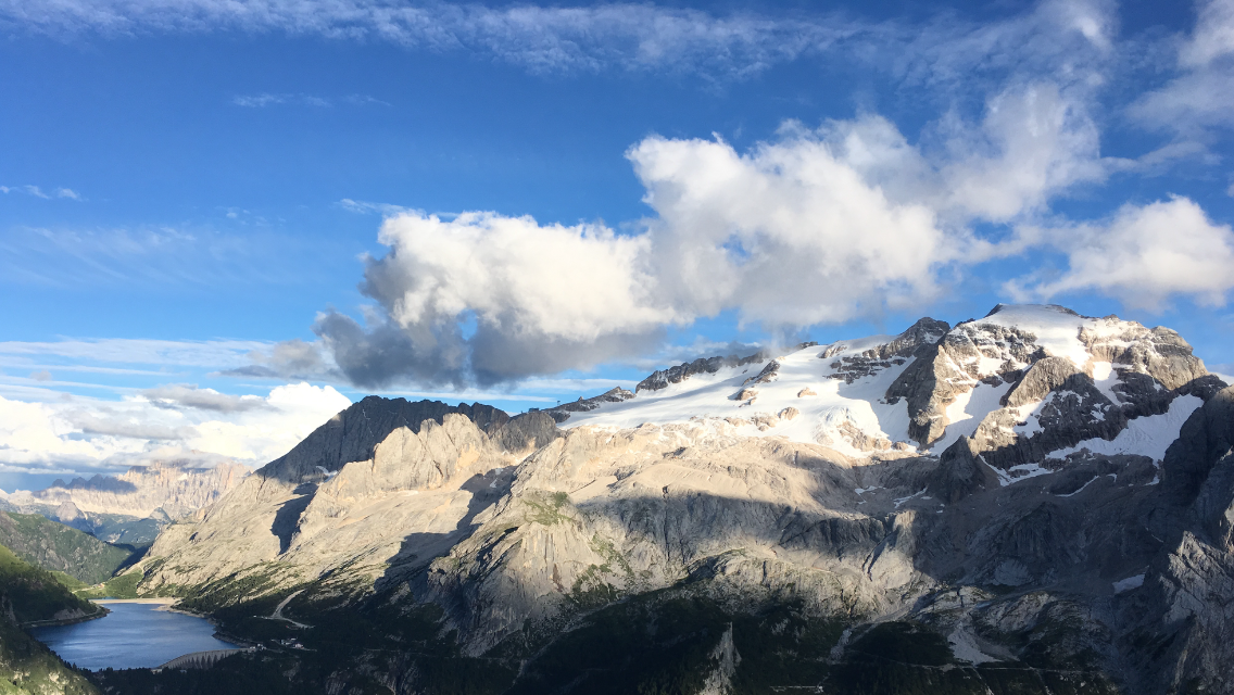
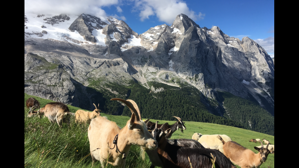
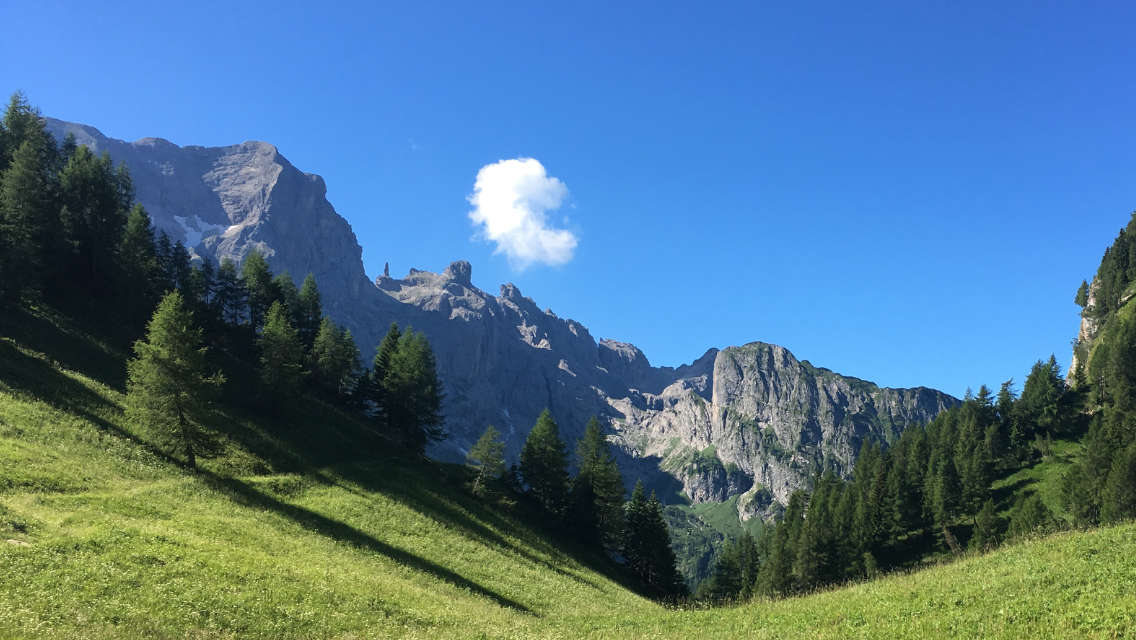
From the valley station of the cable car at the Pordoi pass to today’s goal, Rifugio Viel dal Pan, it’s another 200 m uphill, which we knock off in 90 minutes. Along the way we hike pleasantly again on earth-covered paths, looking towards the queen of the Dolomites, the Marmolada (3,343 m), rising in all her beauty to the right of the trail.

Arriving at the rifugio we’re in luck again — we get a fairly comfortable room. Now it’s showering, resting and blogging. And drying the gear!!

Chapter 15 · Stage 13 · July 15, 2016

Long stage to Alleghe

Distance22.55 kmTime5:07:55Elevation1191 m

Today we hiked the longest stage of our tour — about 25 km and over 1,500 m downhill (200 m uphill) to Alleghe. The day began at 2,500 m with just a few degrees above zero and ends at barely 1,000 m with temperatures over 20 degrees. Long but class. And tomorrow we start on our last mountain range, which we want to cross over the next four days before we arrive in Belluno, where we’ll finish our hike.

Chapter 16 · Stage 14 · July 16, 2016

To the spectacular Tissi hut

Distance5.65 kmTime1:50:30Elevation541 m

Despite good beds in the 4-star Hotel Europa I’m awake by 6:00, partly because we’re in a double bed with only one duvet, which Peik keeps pulling away. I use the time until getting up to book a hotel in Venice, where we’d like to spend one more day at the end of our tour before flying back to Stuttgart from there.

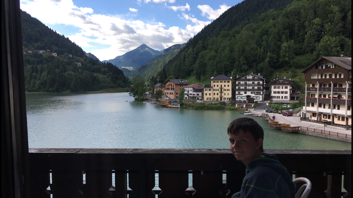
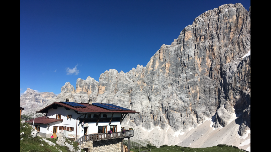
After a leisurely hotel breakfast our stomachs are stuffed to the brim and we head for the cable car, which takes 1,000 m off today’s 1,700 m of ascent. The next hour is a lot of uphill to a hut, but it’s not especially cosy and also overcrowded, so we prefer to walk a bit further and lie in the sun by a small mountain lake. Power nap!! Then we walk on to today’s goal, the Tissi hut, which sits spectacularly on the edge of the mountain that drops steeply over 1,000 m down to Alleghe, where we spent last night.

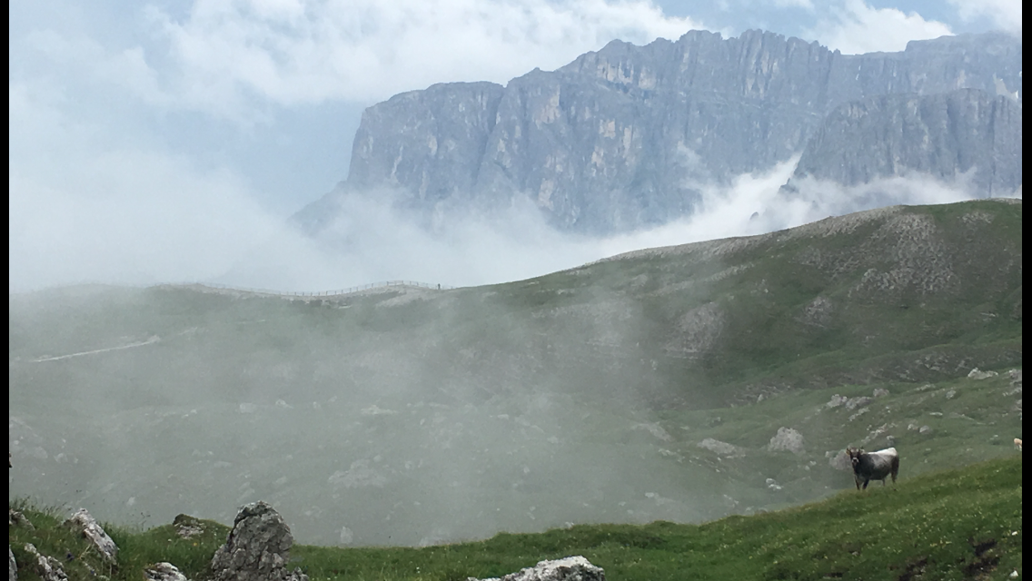
A few metres away rises the mighty Civetta massif, one of the highest peaks in the Dolomites (3,218 m).

Chapter 17 · Stage 15 · July 18, 2016

Long stage to Passo Duran

Distance21.05 kmTime6:09:47Elevation863 m

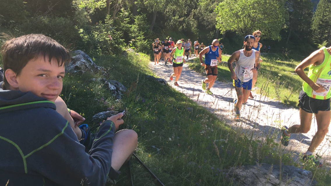
Shortly after 6 the night is over, because the first two hours of today’s stage coincide with the route of the mountain race around the Civetta. We’re not overly keen on running into oncoming traffic of 2,000 runners, so we set off already at 7:20 (!). After just under two hours we reach the Coldai hut, which is also the second aid station of the mountain race. We definitely wanted to get that far before meeting runners. Having managed that, we take our time for a little snack, because we have no packed lunch today and the next place to stop is only in four hours.

Shortly after we set off again the first pair of runners comes towards us. Then the second, the third, and soon an endless stream of runners — the front field jogging, those a bit later walking, and those right at the back even taking a break and asking us to take souvenir photos.

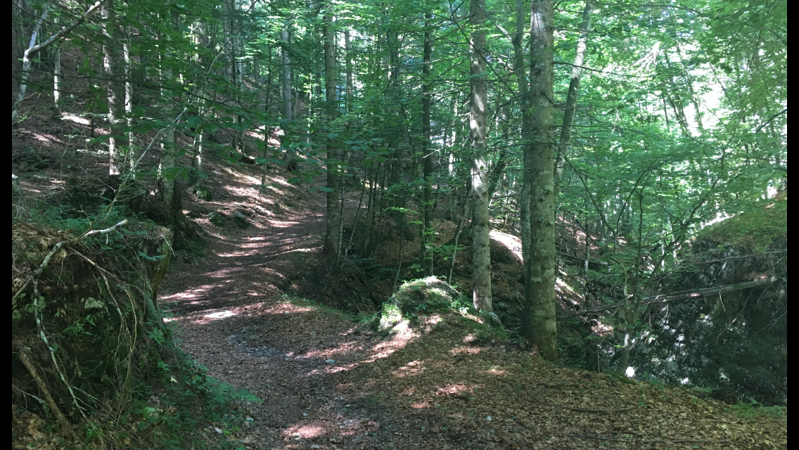
As the stream slowly ebbs we leave the gravel road on which the runners fought their way up and we strolled down, and for the next two hours climb again on a great path through the forest.

We’re making good progress, because after more than two weeks of hiking between 5 and 7 hours every day we’re well broken in. After two days we still had sore muscles and especially on days 3, 4 and 5 quite stiff thighs and calves; by now our bodies have got used to the load. Our backs have also got used to the pack, and we no longer feel the weight of about 11–12 kg (except a bit when going uphill). The aches on our feet (blisters and pressure spots) are also limited. Peik asked for his first Compeed today; I’ve had one on my right heel since the start of the tour, for three days one under my left big toe (blister) and one on my left big toe (pressure spot). Otherwise all good, also thanks to regular care with horse salve and foot cream.

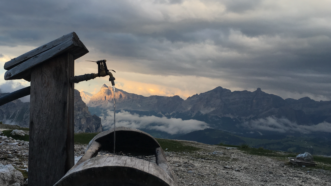
Around 14:30 we’re finally at the hut where we can quench our thirst. In the Dolomites, unlike on the Alpine main ridge, there are hardly any streams to refresh yourself from along the way. And with the almost cloudless sky and scarce drinking water at the Tissi hut we were truly dried out. Freshly fortified we also knock off the last 45 minutes of walking and reach our day’s goal around 16:00 — sadly without network or Wi‑Fi, so no way to update the blog.

Chapter 18 · Stage 16 · July 18, 2016

1,300 metres up and 1,300 metres down

Distance18.36 kmTime6:02:38Elevation1285 m

Today, almost as the crowning of our tour — apart from the day from Stein to Pfunders — the longest stage is on the programme: in over 7 hours of walking time (not counting breaks) we have to manage 1,300 m of ascent and 1,300 m of descent.

The first two km run along the pass road on asphalt, then it goes poorly signposted into the forest. After half an hour we’re unsure how the path continues. We’re standing in the middle of a logging area. Because of that the path was diverted and neither GPS nor map helps us. As we stand around rather helplessly in the terrain, a small hiking group approaches and we ask them the way. They’re locals and after a minute we’re back on the right path. After about two hours we come to a small fountain where we can fill our water for the last time for the next two hours. We make good progress on a pleasant path, sometimes over scree, then again through mountain pines or larger stretches of forest, mostly gently rising. Around 14:30 we reach Rifugio Sommariva al Pramperet, where we take a short break to eat pasta. The rifugio sits quite nicely, but neither the people working there nor the food and drink offering match, so leaving is easy.

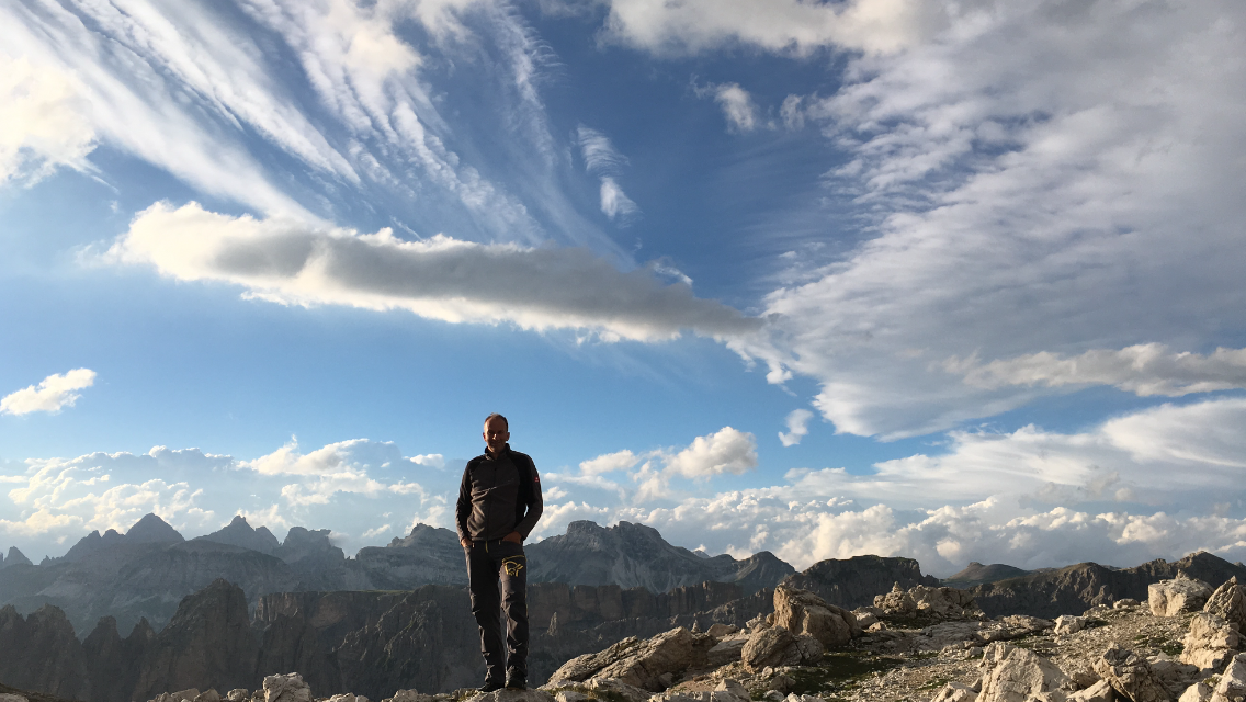
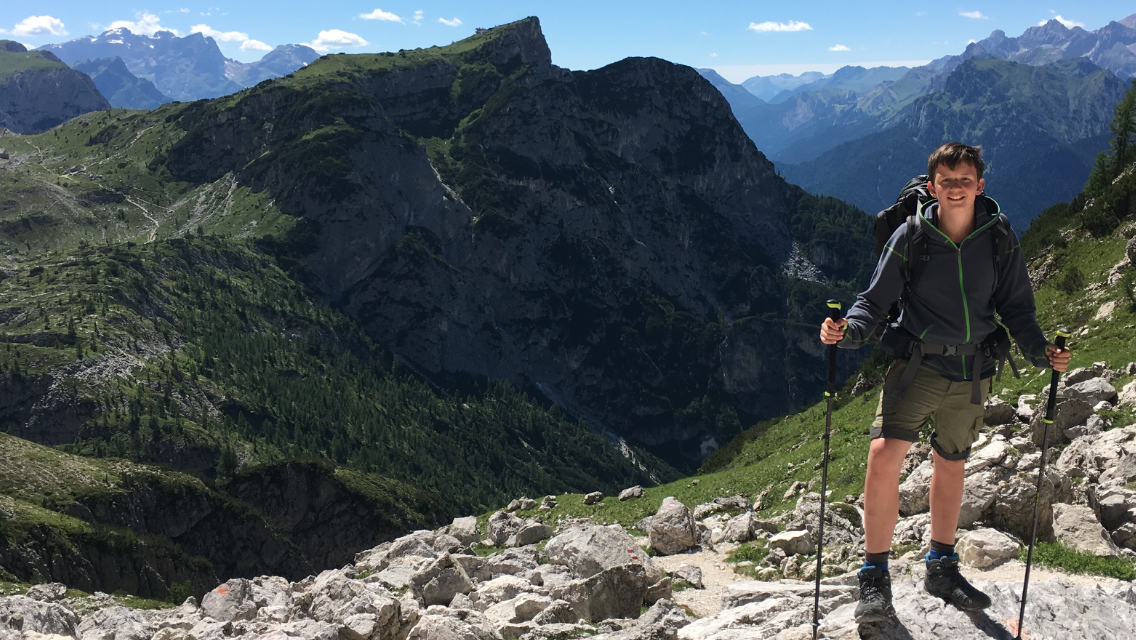
The remaining stretch of the day then packs a punch. First it zigzags over scree to the Portela del Piazedel at 2,097 m, then over large stone slabs further up, and finally an airy climb brings us almost to 2,400 m at the Forcella de la Sud dei Van di Città. From there we not only have a magnificent view but also a descent of over 850 very steep metres ahead. We can see our day’s goal, Rifugio Pian de Fontana, for a long time, but the descent there still hits the knees hard. When we roll in at 18:00 (after over 8 hours of pure walking time) we’re rewarded with a very cosy hut (maybe the cosiest of the whole tour?), very nice hosts and excellent food.

At the hut a Munich guy joins our table and opens the conversation with: “Who forced you into this trip then?” When we tell him the story he doesn’t think much of it. Each to their own — maybe no coincidence he’s travelling alone 😉

In the evening we still shoot a few pictures of the surrounding mountains and play Mäxle before, shortly after 22:00, we’re politely asked to leave the main hut and go to our equally snug sleeping hut (15 beds, 7 occupied) with its own WC/shower. Worth mentioning: the shower only had cold water, which considerably reduced water use and in return considerably boosted our circulation.

Chapter 19 · Stage 17 · July 19, 2016

Last hiking day and trip to Venice

Distance13.84 kmTime3:42:07Elevation297 m

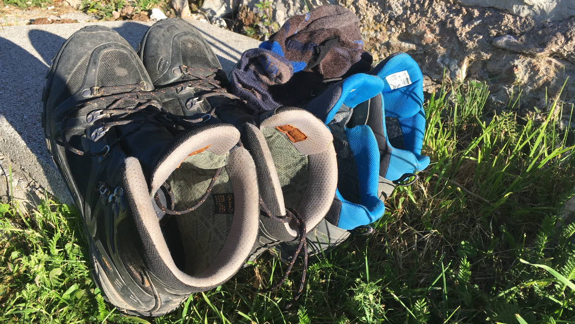
I can hardly imagine that today is meant to be our last hiking day on our Alpine crossing. After 17 days of uninterrupted hiking, almost 300 km, about 14,000 metres of ascent and a bit more descent, today we’re supposed to pack the laundry into waterproof stuff sacks one last time, stuff everything into a big bin bag for rain protection, plaster our feet with Compeed, pull on women’s stockings, then wool socks, and finally into the by now rather smelly hiking boots, shoulder the pack, slip into the loops of the walking poles and — hopefully with a full water bottle — set off: unimaginable!!

The last stage of the Alpine crossing to Belluno involves serious climbing where a via ferrata kit is essential. Since we don’t have one, the only option is the descent into the Cordevole valley.

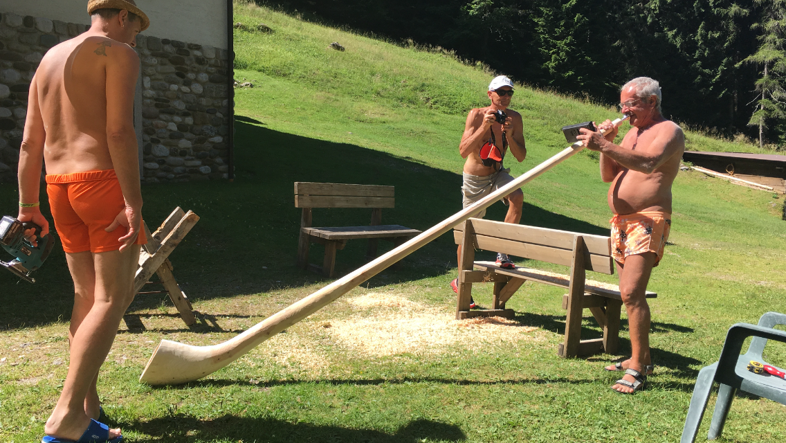
We set off relaxed from our rifugio, since the stage is estimated at only about 4 hours. After 150 m of descent we have the last climb to the Forcella de La Varetta (1,704 m), which we manage in just under 30 minutes. From the pass we have a great view of last night’s rifugio and the Schiara (the section with the via ferrata). Ahead of us wait 1,400 m of descent, the first half of which is pretty hard on the knees. After about 2 hours we’re at Rifugio Bianchet, where two men are busy putting the finishing touches on a freshly completed alphorn. We linger over elderflower spritzer and pasta. With 2½ hours to spare before the bus leaves in the Cordevole valley we set off on the remaining metres, quite relaxed for 2 hours on a gravelled track.

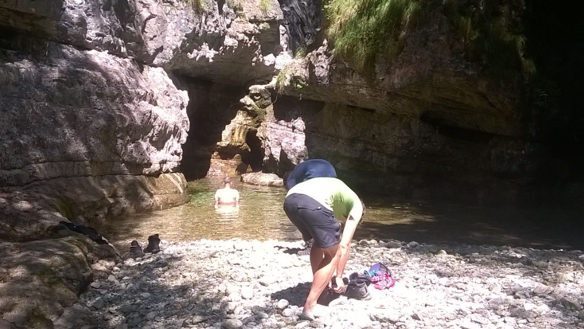
In the Cordevole valley we hit a very busy main road, from which we take the bus to Belluno. Before that there’s still time for a quick dip in a mountain stream — a real highlight to finish.

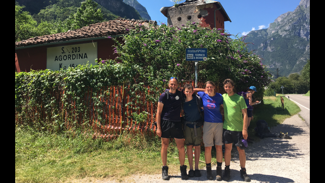
On our Alpine crossing we’ve been following for several days the very well-known Alta Via 1 (I think there are 7 in total) through the Dolomites. The bus stop in the Cordevole valley, which sits 300 m above the spot where the Dolomite high route begins or ends, is therefore important for many hikers. Most who follow either the “Dream Path Munich–Venice” for the Alpine crossing or Alta Via 1 stand here at least once.

Accordingly we also meet several little groups at the bus stop whom we already know from one hut or another.

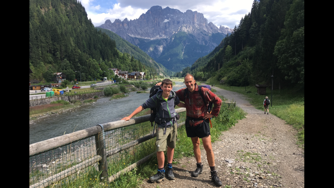
We — that is, for almost 14 days no longer just Peik and me. On our third hiking day we met two hikers in the evening at the Lizumer Hütte who also wanted to cross the Alps: Tore and Inken, two friends from Bonn. Because we hiked at about the same pace we first met again in the evenings at the huts, got talking, found each other likeable, shared dorms, later usually 4-bed rooms, and over the shared days grew more and more together. At the end of the hike we were even taken for a family. We had great fun as a foursome either way. Sadly our ways part after the half-hour bus ride to Belluno, because Peik and I want to spend one more day in Venice before our flight back to Stuttgart, but Tore and Inken have no appetite for crowds in a city.

After a warm goodbye at the station we continue by train towards Venice; with changes and a 50-minute wait it takes about 2½ hours. The last kilometres the train runs on the causeway linking Venice to the mainland. Already in the station it’s very hot, with people and noise everywhere. What a contrast to cool Alpine air and 10 hikers a day (plus a few more at the huts).

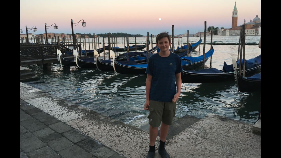
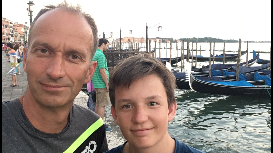
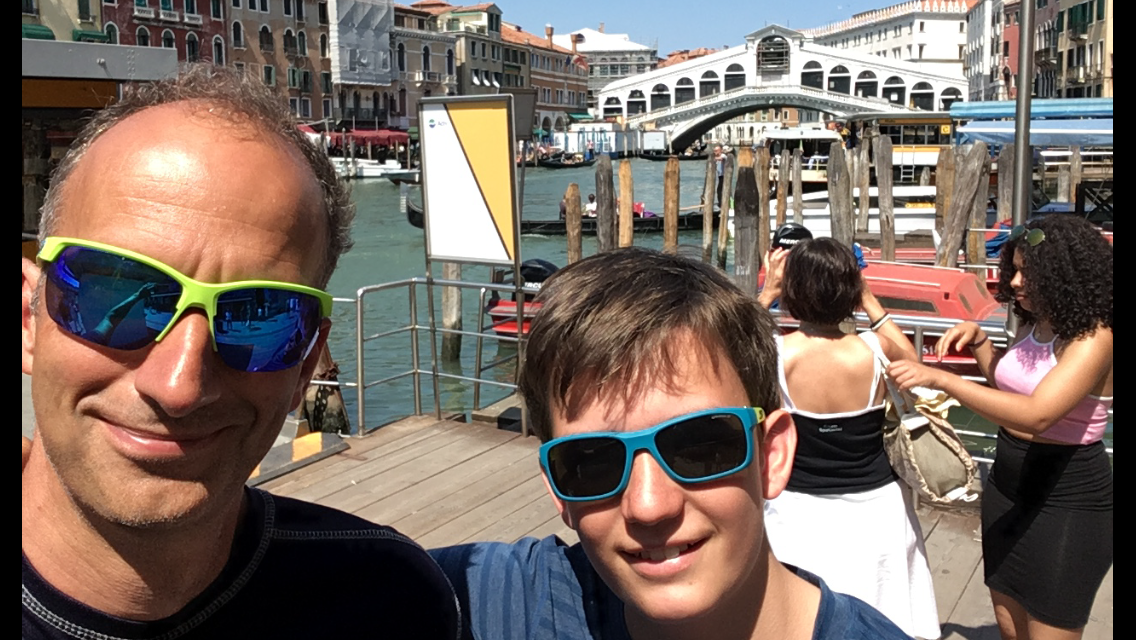
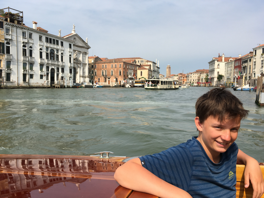
The hotel in Venice I booked a few days ago from the trail is a few minutes’ walk from St Mark’s Square and thus almost on the other side of Venice from the station — 2.5 km on foot or 30 minutes by water taxi. We choose the latter; the water taxi is fairly empty, unlike those going the other way. Shortly after the Rialto Bridge we get off and a short while later we’re checked into the hotel. Now it’s stretch out on the bed and chill. Around 8 we head towards St Mark’s Square and then into a pizzeria to satisfy our hunger.
Chapter 20 · July 20, 2016

Chill day in Venice

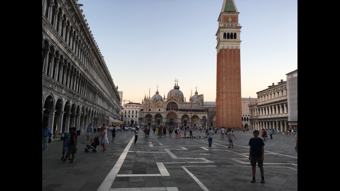
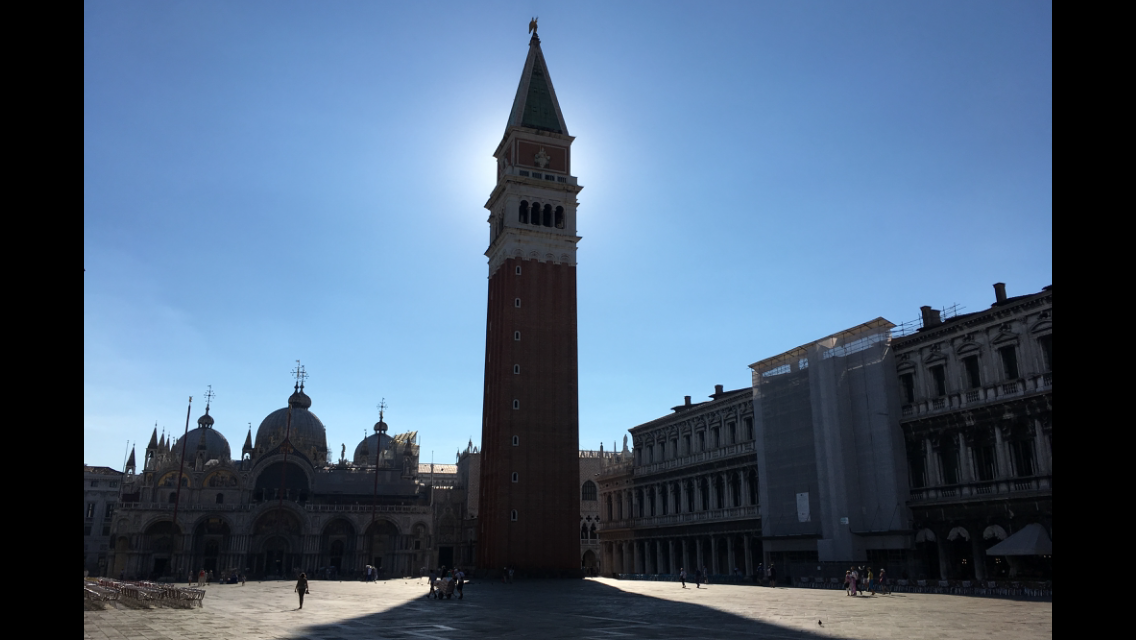
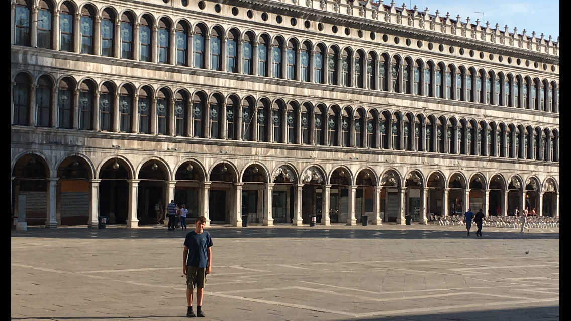
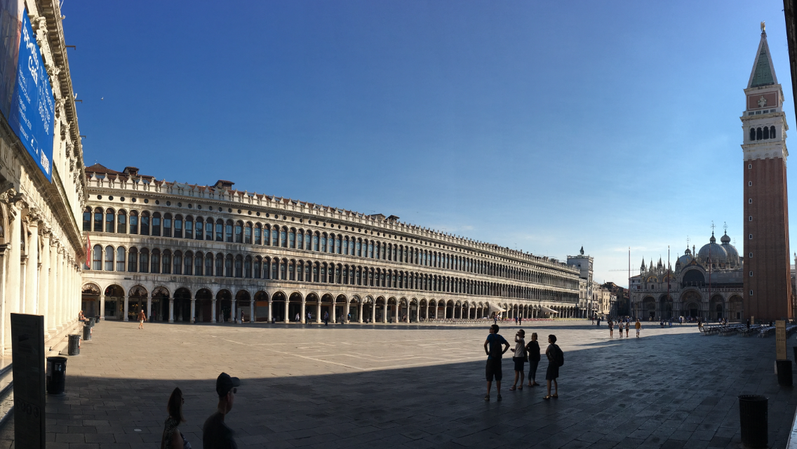
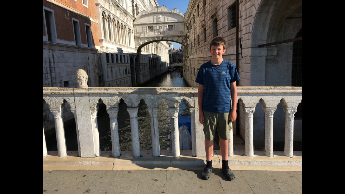
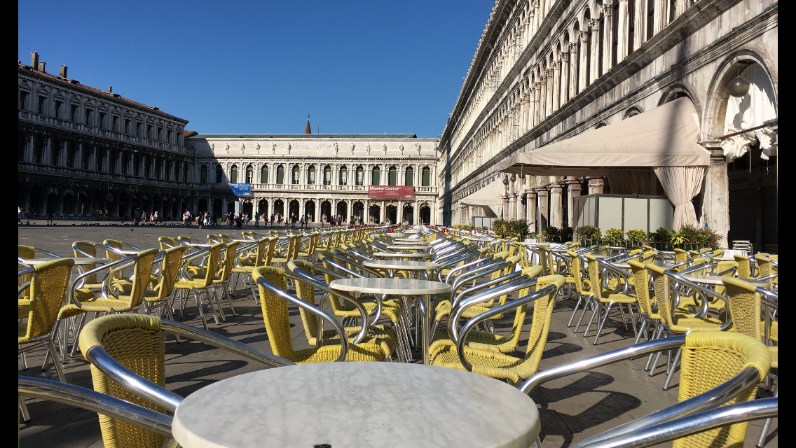
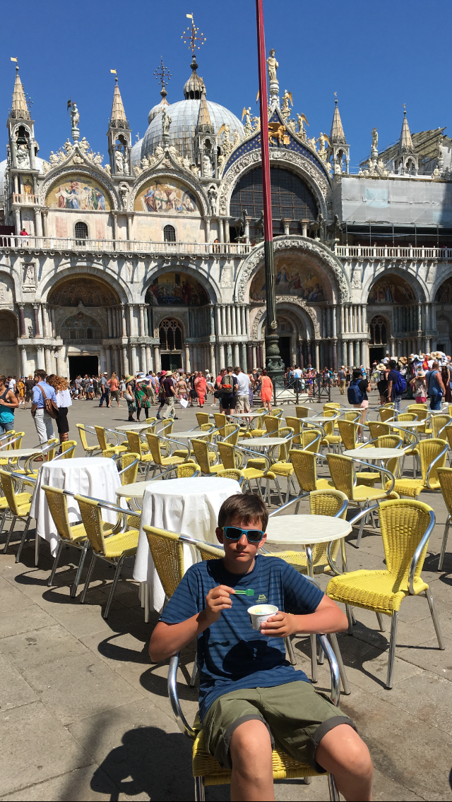
We wake early — apparently we’re used to the Alpine rhythm. But that has the advantage that we can see a bit of Venice before all the tourists show up. So we decide to pay another visit to one of Venice’s main attractions, St Mark’s Square. We also get the chance to take a photo of the Bridge of Sighs when only a few tourists are about. As St Mark’s Square slowly fills and the queues in front of the still-closed churches and museums get longer, we stroll back to the hotel and enjoy the plentiful breakfast outdoors on the hotel terrace.
Chapter 21 · July 22, 2016

Return flight and end of the tour

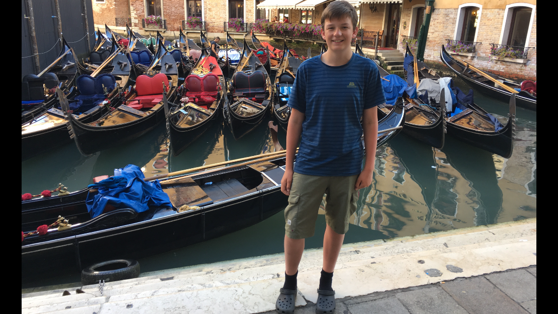
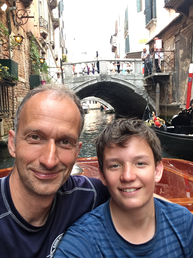
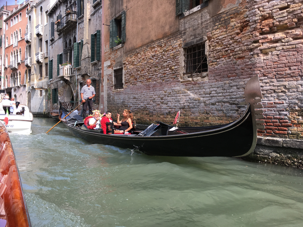
We breakfast leisurely in Venice on the terrace of our hotel and watch the endless stream of tourists pass the terrace — more or less enthusiastically — towards St Mark’s Square. Luckily we’re spared that; we take the water taxi from the hotel straight to the airport. Takes 45 minutes, also because of the enormous traffic on the canals, where gondolas, water taxis and barges supplying Venice with goods have to share the scarce space.

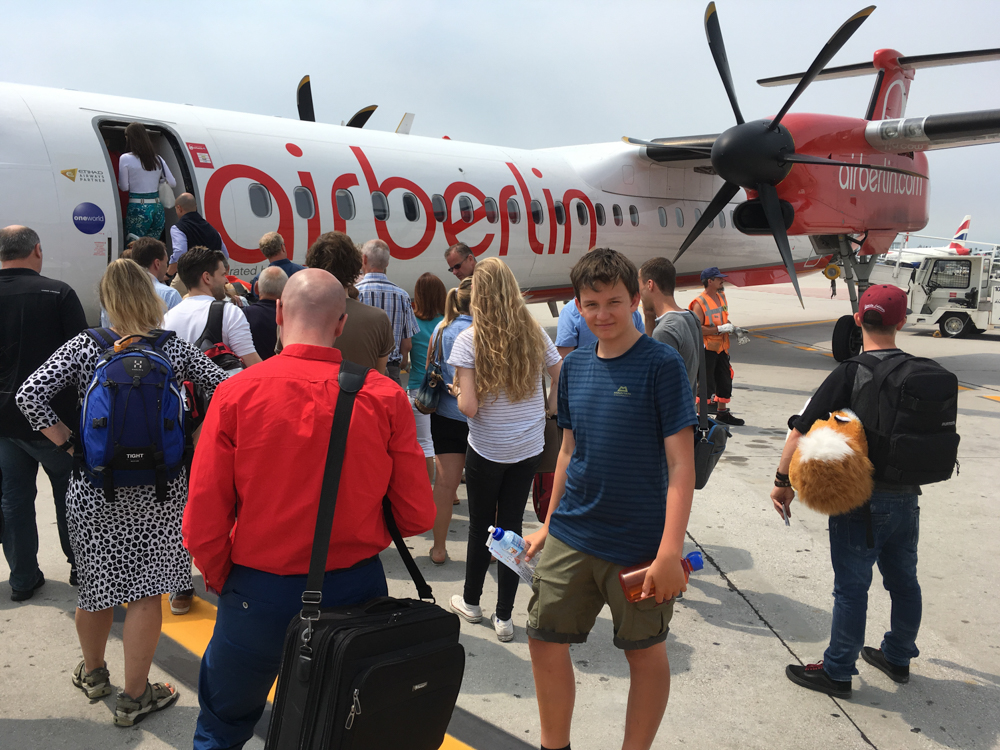
The rest is transport: check-in with Air Berlin to Stuttgart, S-Bahn to the main station, train to Karlsruhe, tram to Neureut, the last metres on foot. At 16:25 we’re home again!

The facts: